West Highland Way, Day 5 Ardlui to Crianlarich (16.2 km, ↑ 640 m, ↓ 551 m)
This morning, we deviated from our usual breakfast routine. The hotel served a full Scottish breakfast at 08:00, which felt varied after days of coffee and rolls, and we decided that leaving a little later was a worthwhile trade for a hot meal.
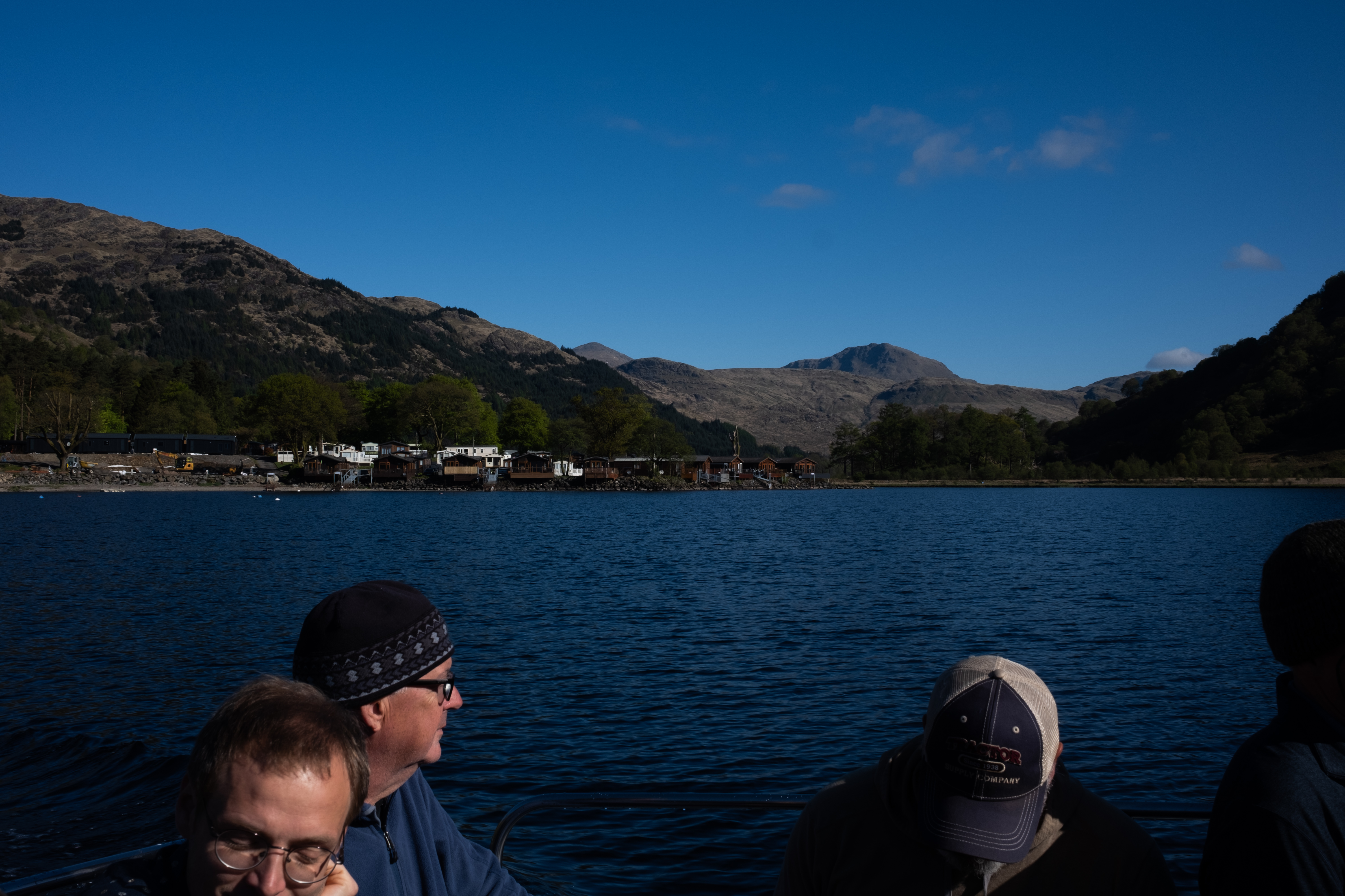
The earliest ferry back across also didn't run until nine. Almost every hiker we had seen the day before was on it, and we spent time discussing yesterday's section. The consensus was that it had been hard but good, and that we had all been very lucky with the weather staying dry.
Back on the other side, while everyone else set off immediately, we stayed at the port to stretch. We started doing this on the TMB and had skipped it yesterday; we both agreed we felt the difference. Then we headed north, following the loch for one last kilometer before the trail moved away from the shore and climbed up into the hills. And just like that, it dawned on me that we were leaving Loch Lomond behind. I turned around to take one last look at Loch Lomond before continuing my journey.
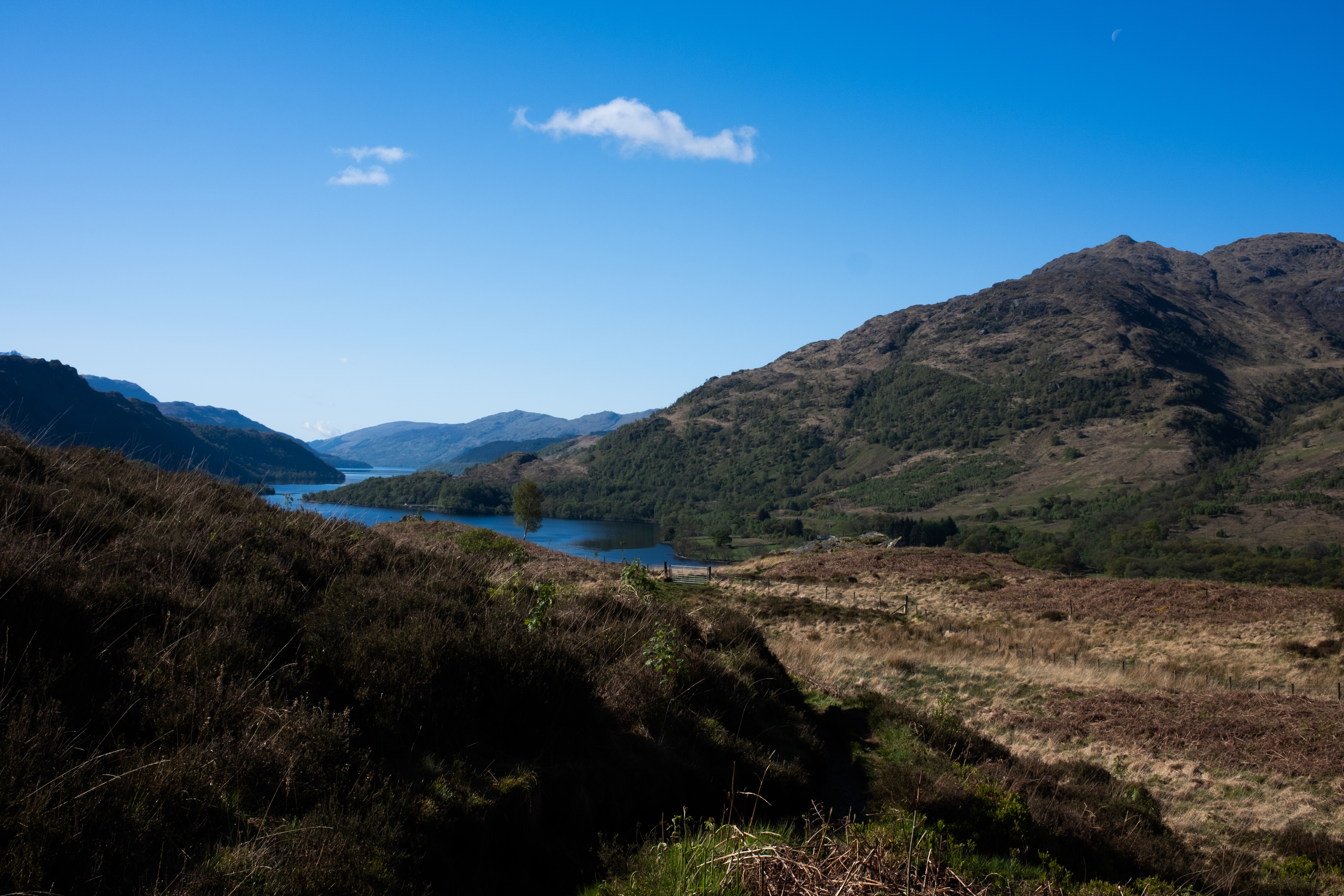
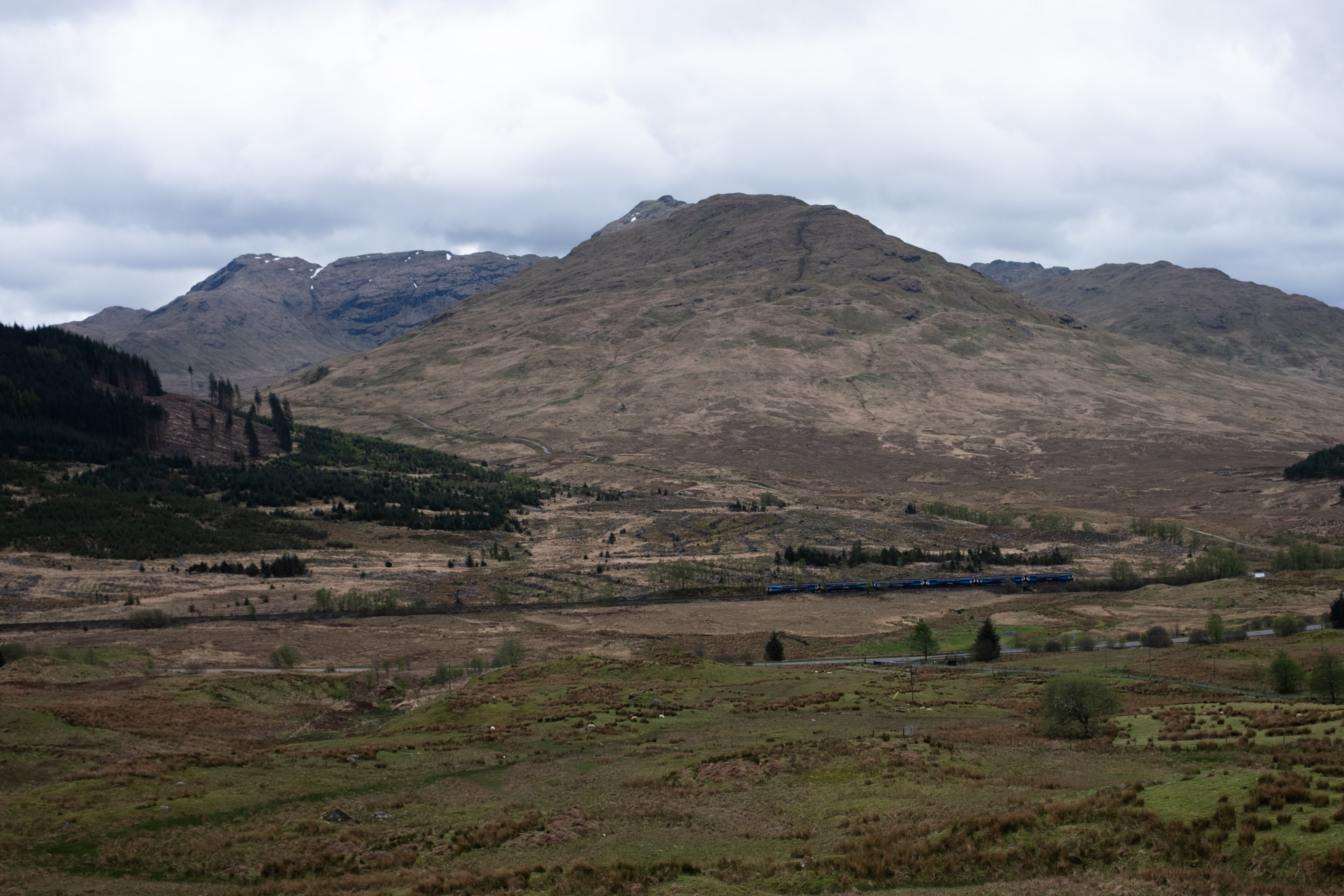
Loch Lomond was not only significant because it is the largest lake by surface in Great Britain - it also marks the start of the Scottish Highlands itself. Geography wise, the Highlands apparently begins just around Loch Lomond, which crosses the Highland Boundary Fault, a geological divide where north and west of this line is considered the Highlands. These remote, expansive moors that I had remembered from my train journey are classic characteristics of the Highlands landscape. The boundary is not merely a geographical one; it is also a cultural one, with the Highlands being home to Gaelic-speaking clans.
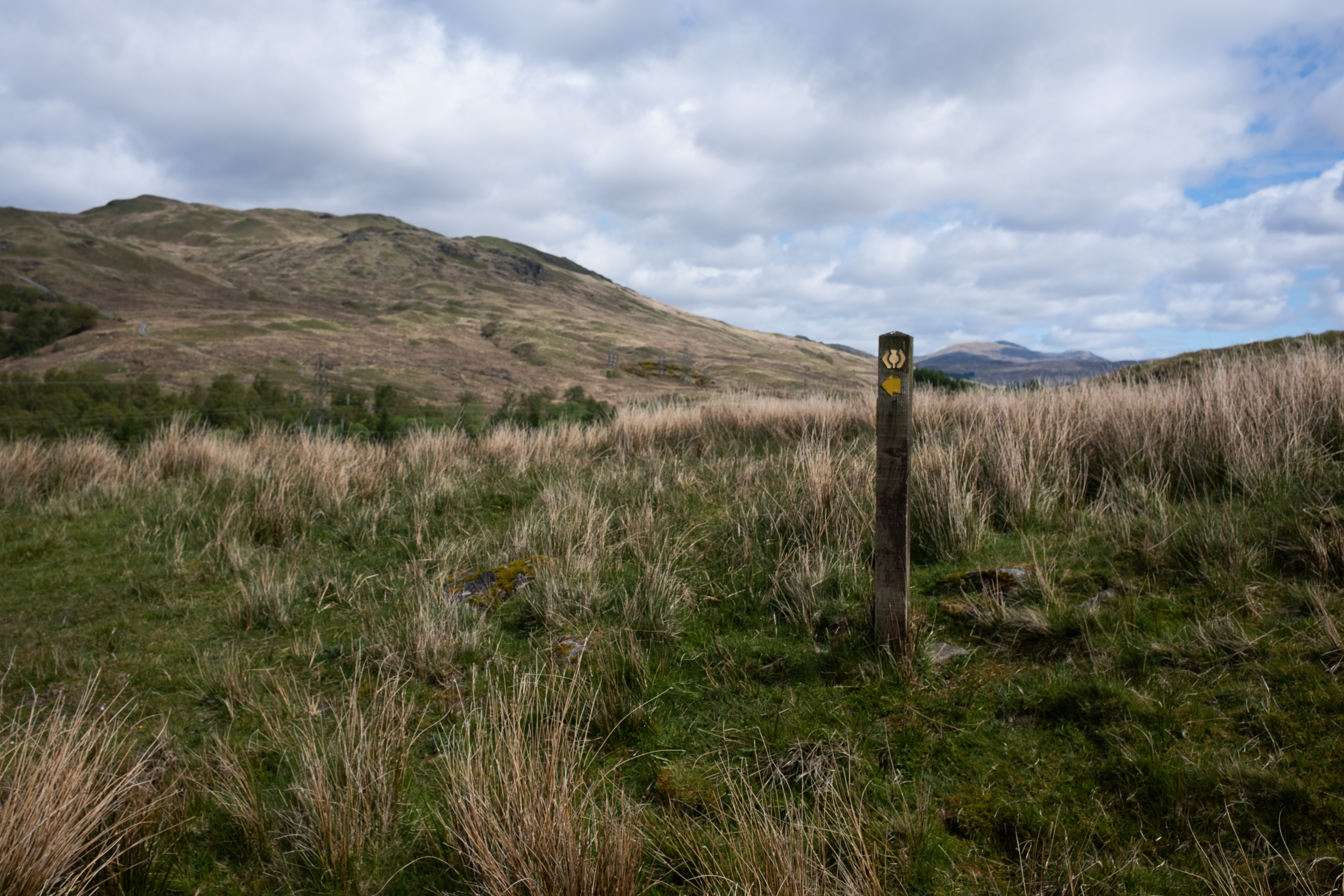
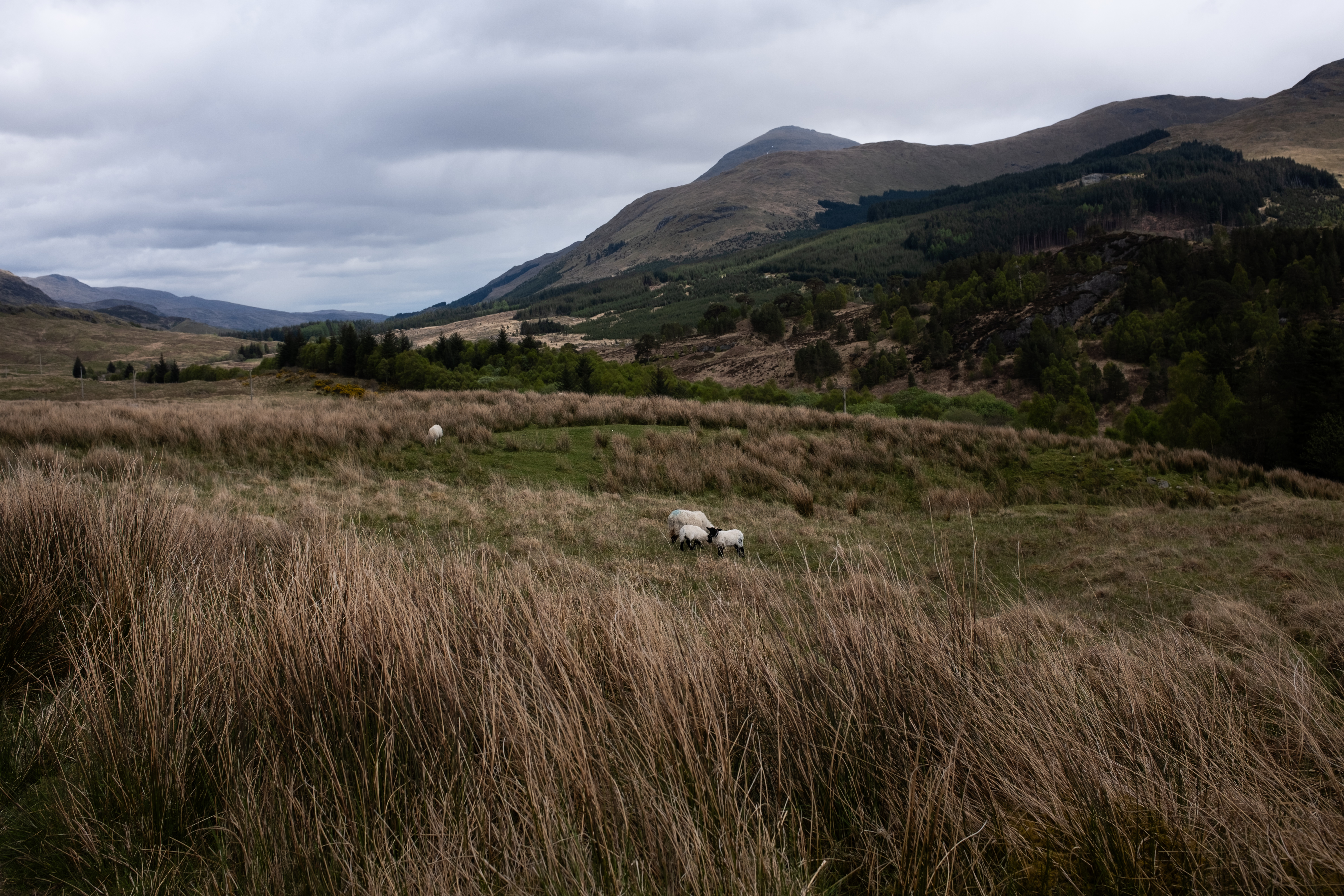
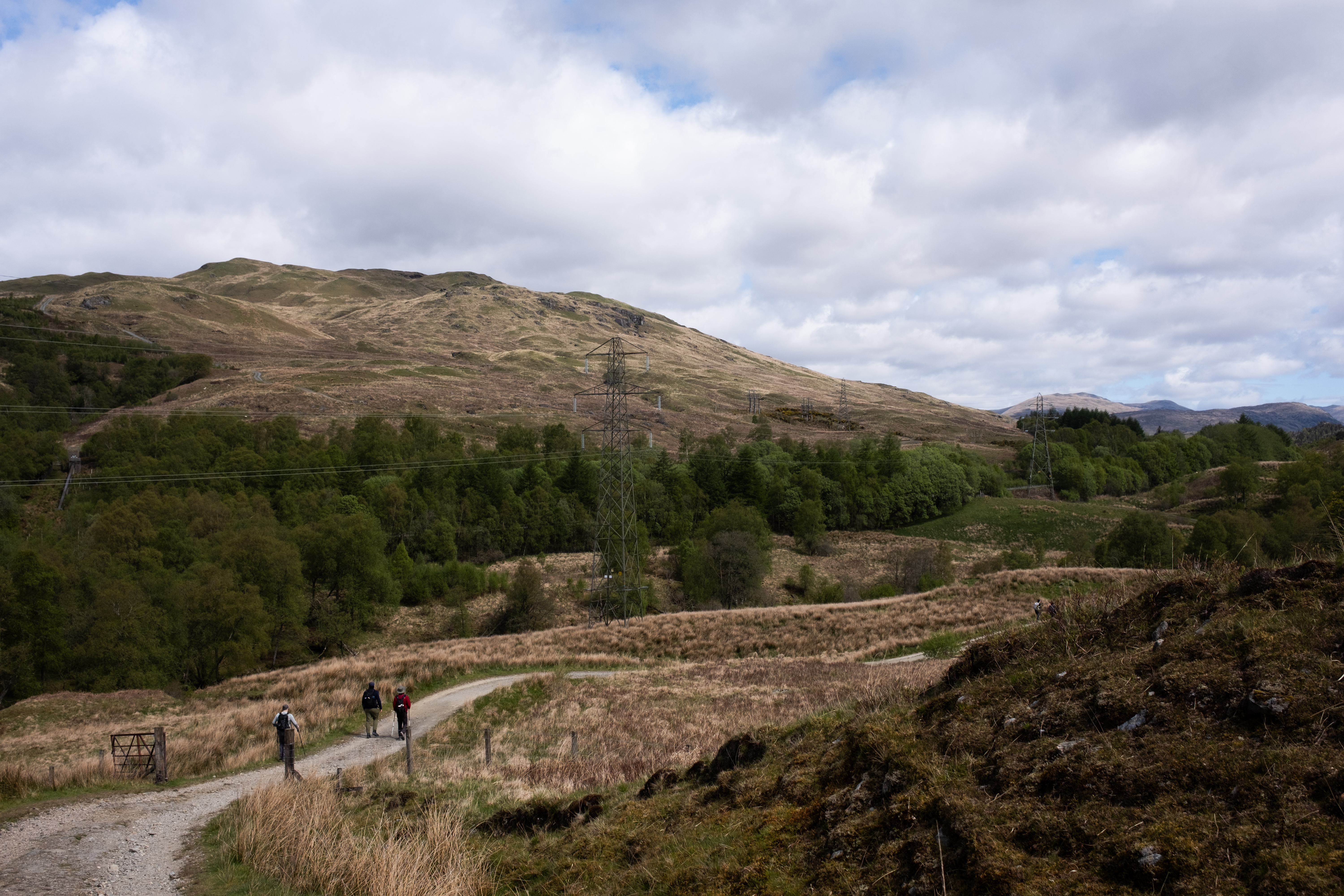
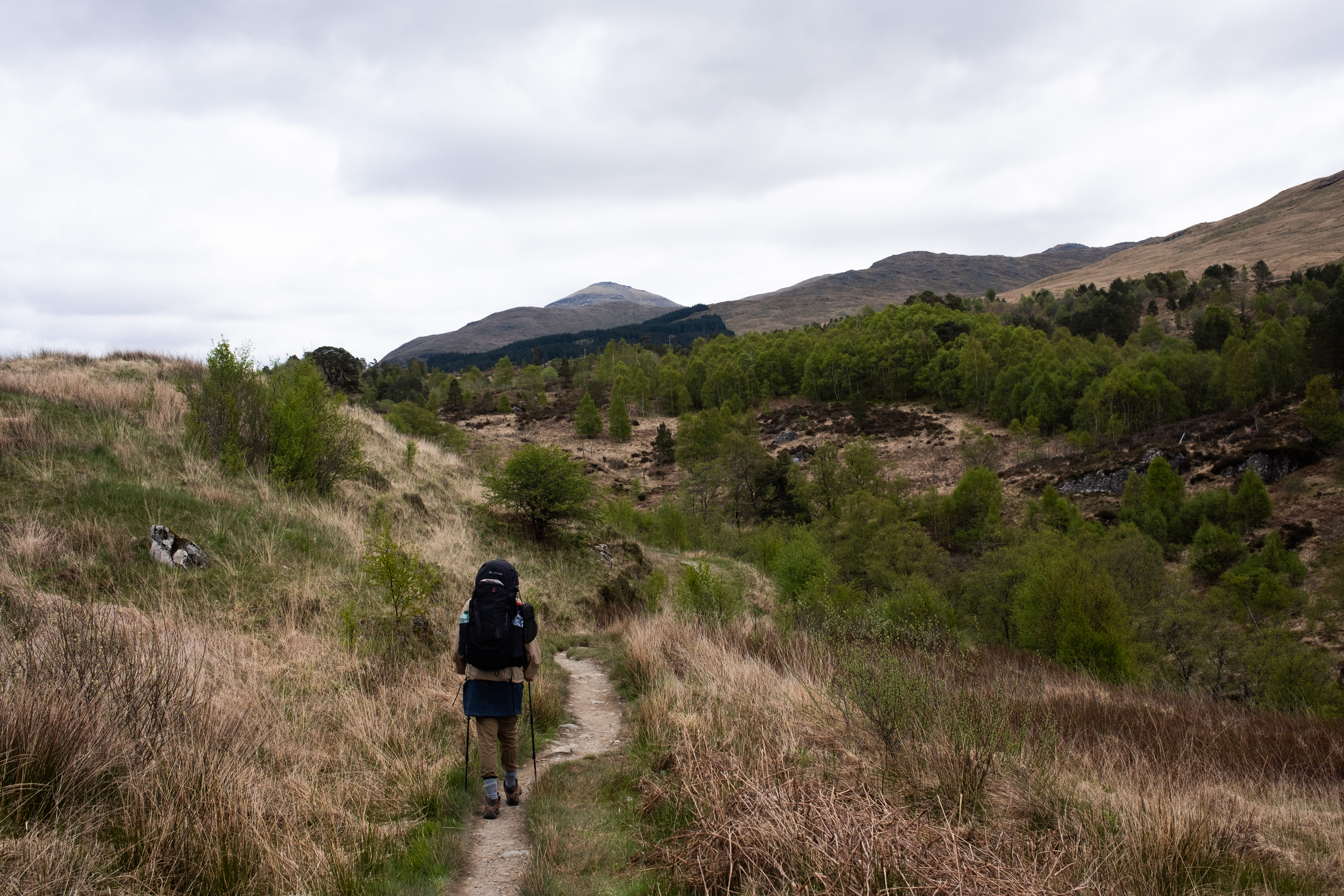
We talked about what the scenery might look like now that we are leaving the loch, and as it turns out it didn't take long to find out. Looking ahead, the landscape was already changing: mountains in the distance, and those classic Highland hills shaded in burnt yellow and brown, the ones I had first seen from the train window eight years ago. The West Highland Way, true to its name, had been promising these hills all along, and while the loch had been a pleasant surprise, I was more than eager to explore what was coming next.
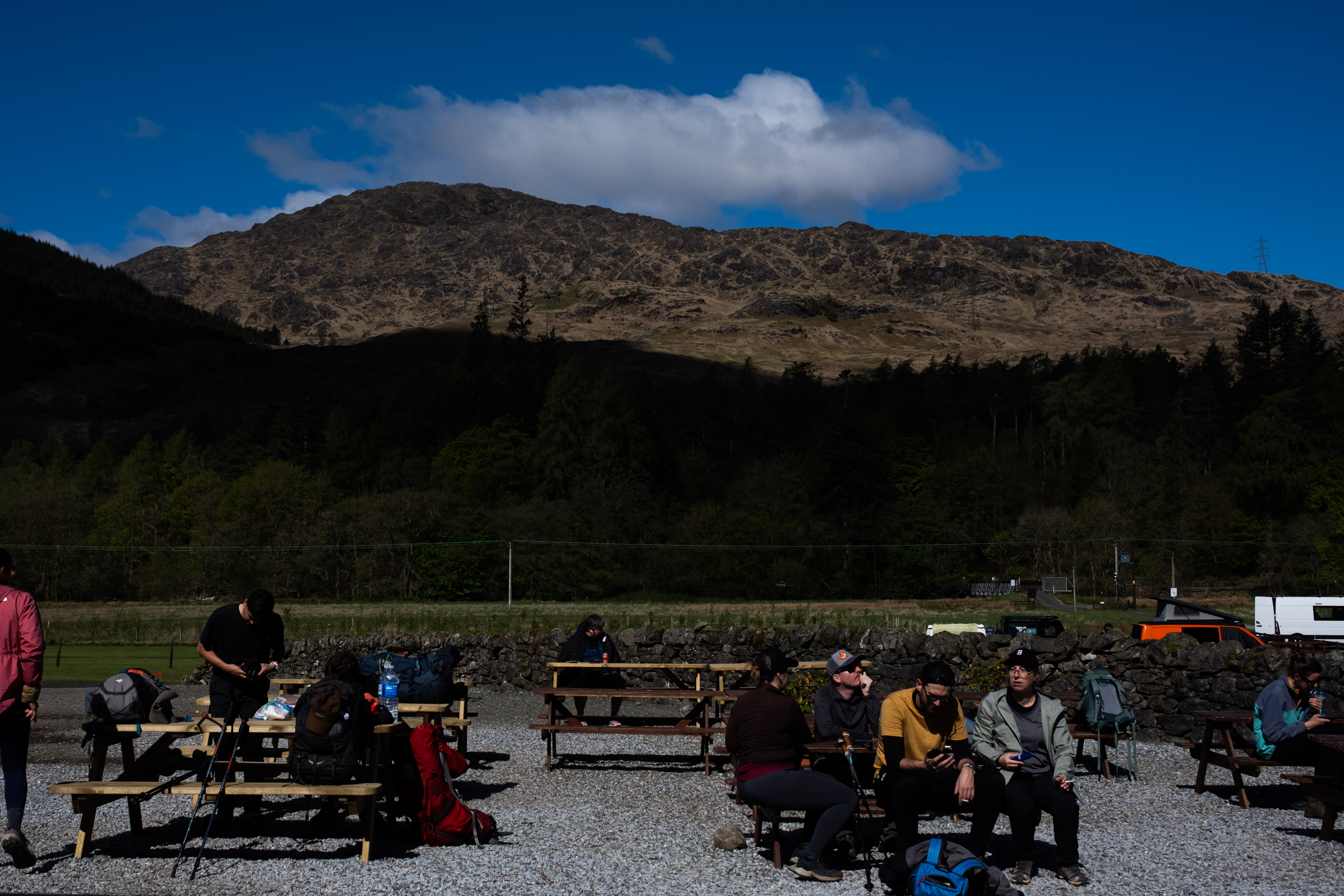
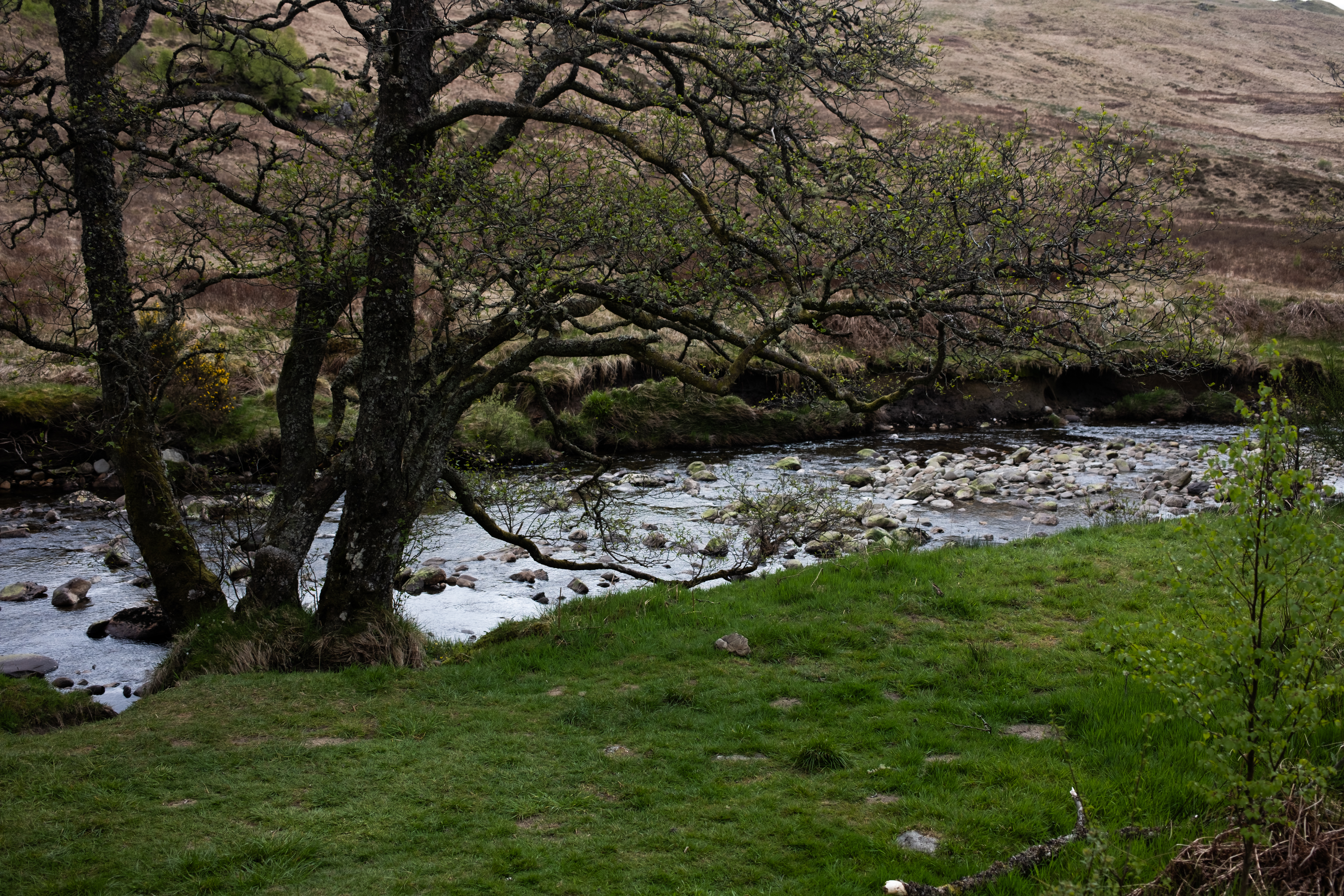
Shortly after Loch Lomond, we made a brief stop at Beinglas Campsite to refill our water bottles and buy some breakfast for tomorrow, since tonight we would be wild camping again. Wild camping sounds spontaneous until you realise it still requires thinking at least one meal ahead. The campsite was busy with hikers either just starting their day or pausing before pushing on.
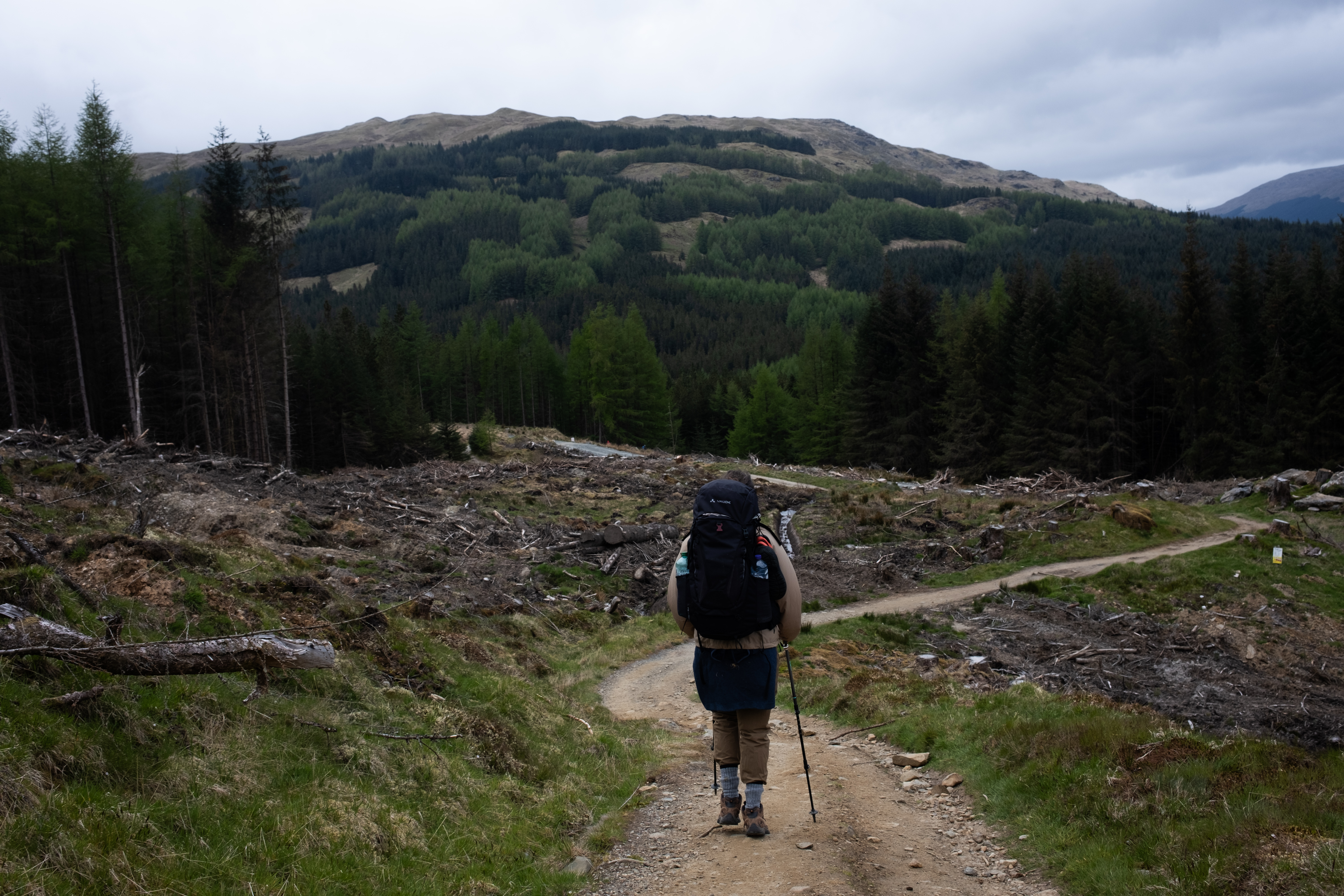
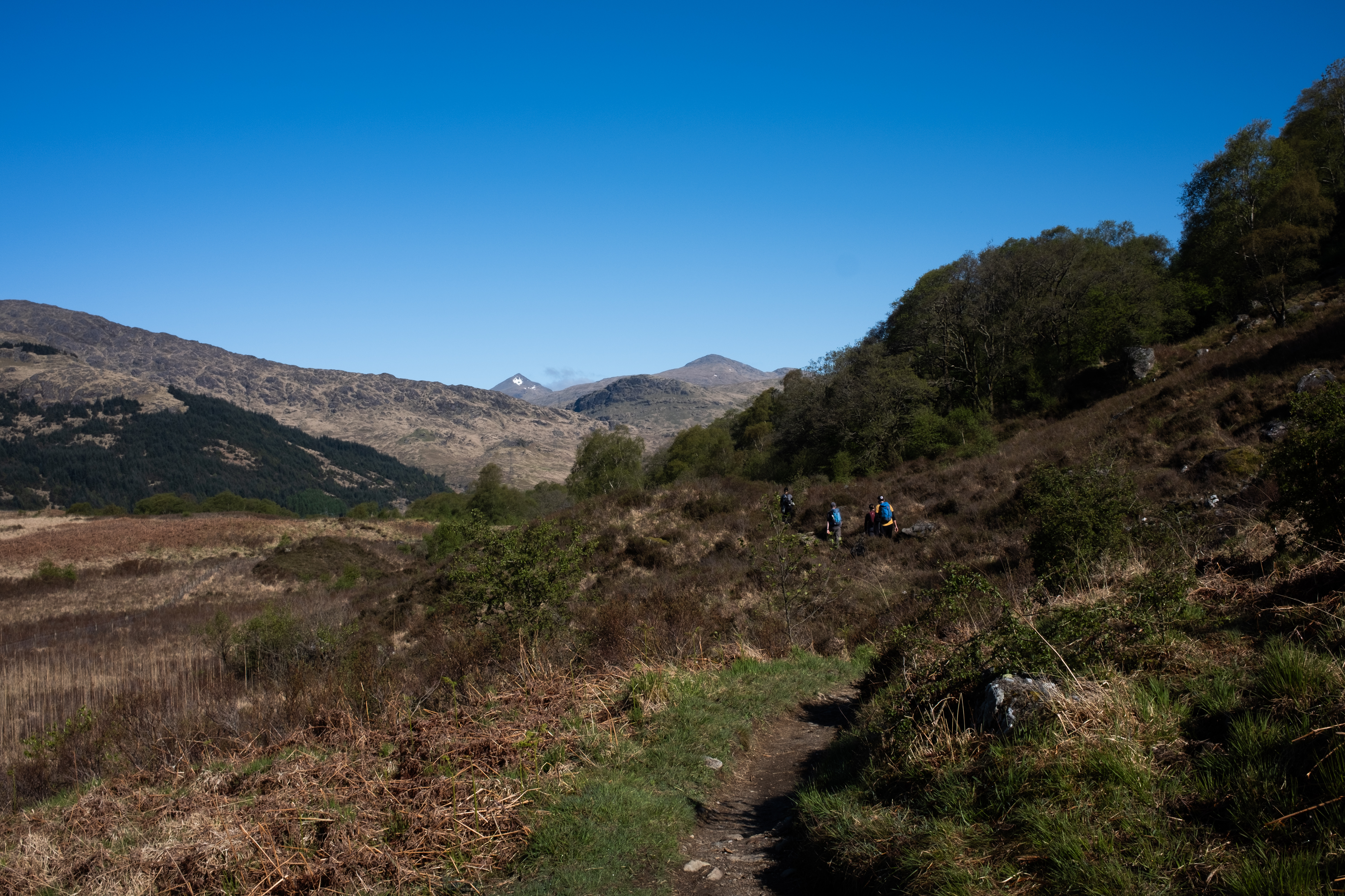
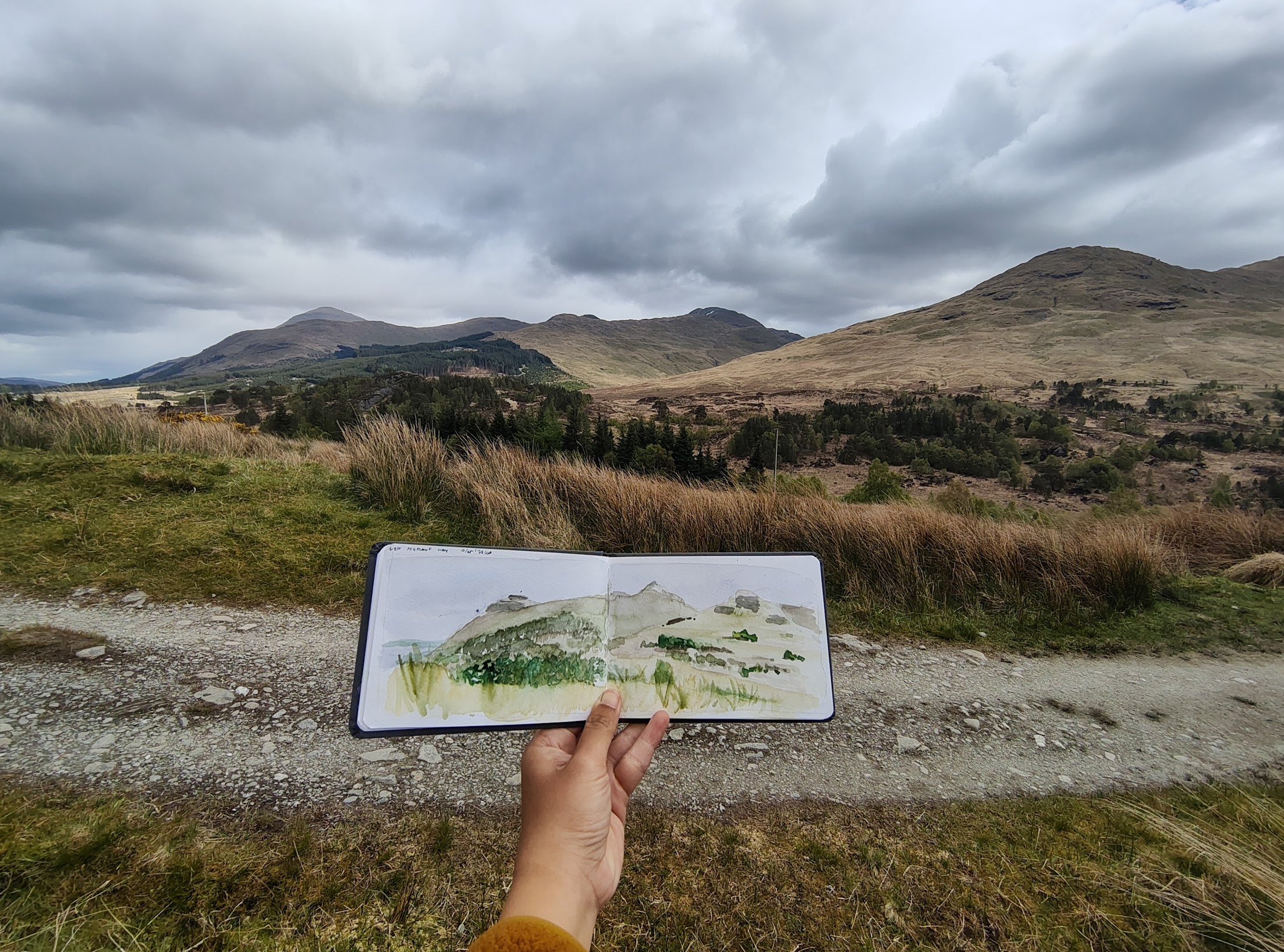
Today was longer in distance but far less technical than the Loch Lomond section. Much of the trail followed old military roads built in the 1700s during the Jacobite rebellion — level and wide, but relentlessly hard on the knees. Once we left Beinglas behind, the space opened right up, and I stopped to do some sketching, wanting to capture the Highlands in watercolor before the light changed.

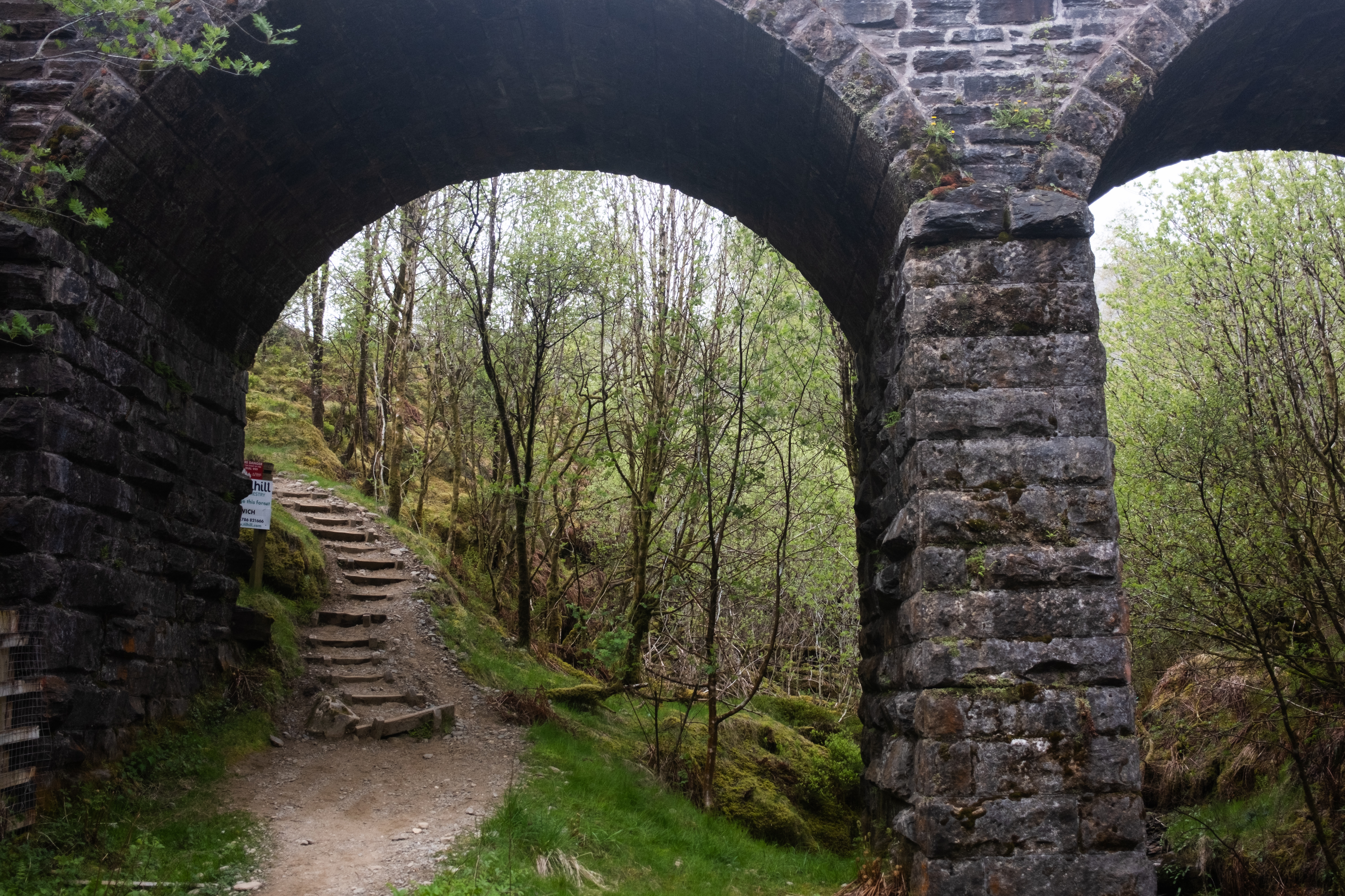
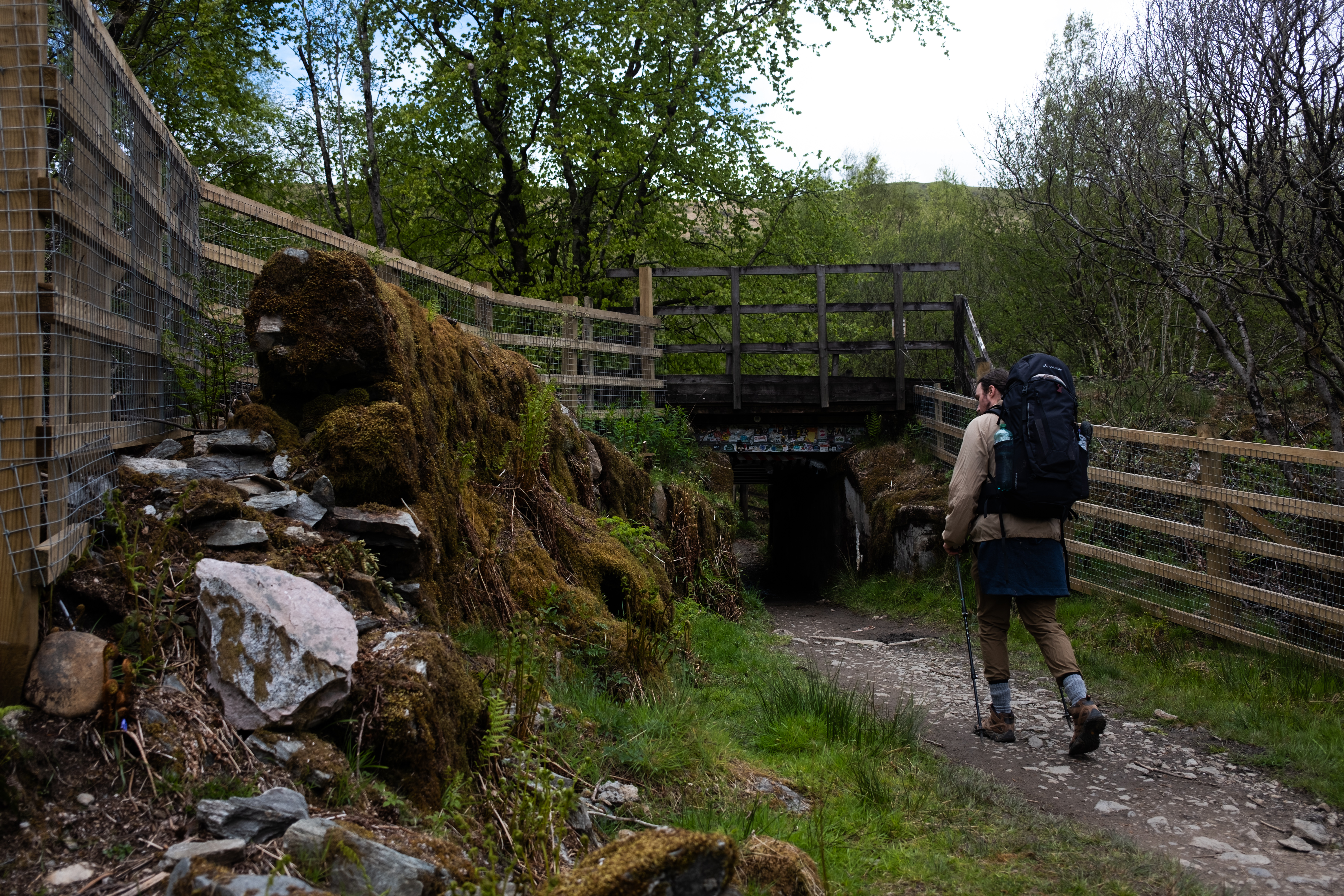
Just like when walking the Loch Lomond, we were actually not far away from human-built infrastructure. We could still see the highway from the trail, and occasionally a ScotRail train would pass by. Sometimes we would have to cross the tracks, and to do so there were tunnels under the bridges to facilitate hikers:
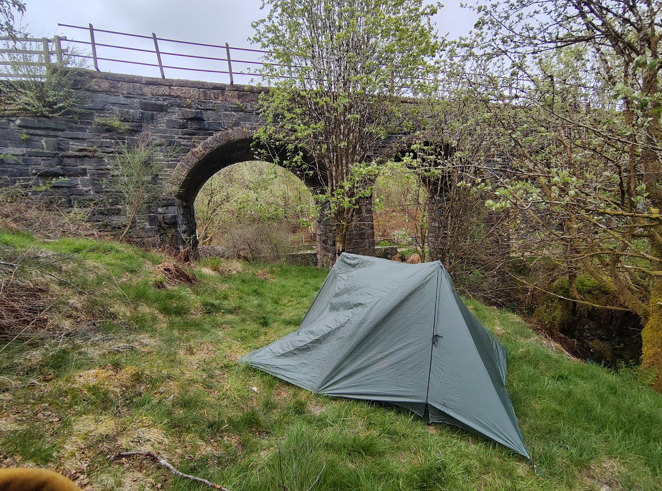
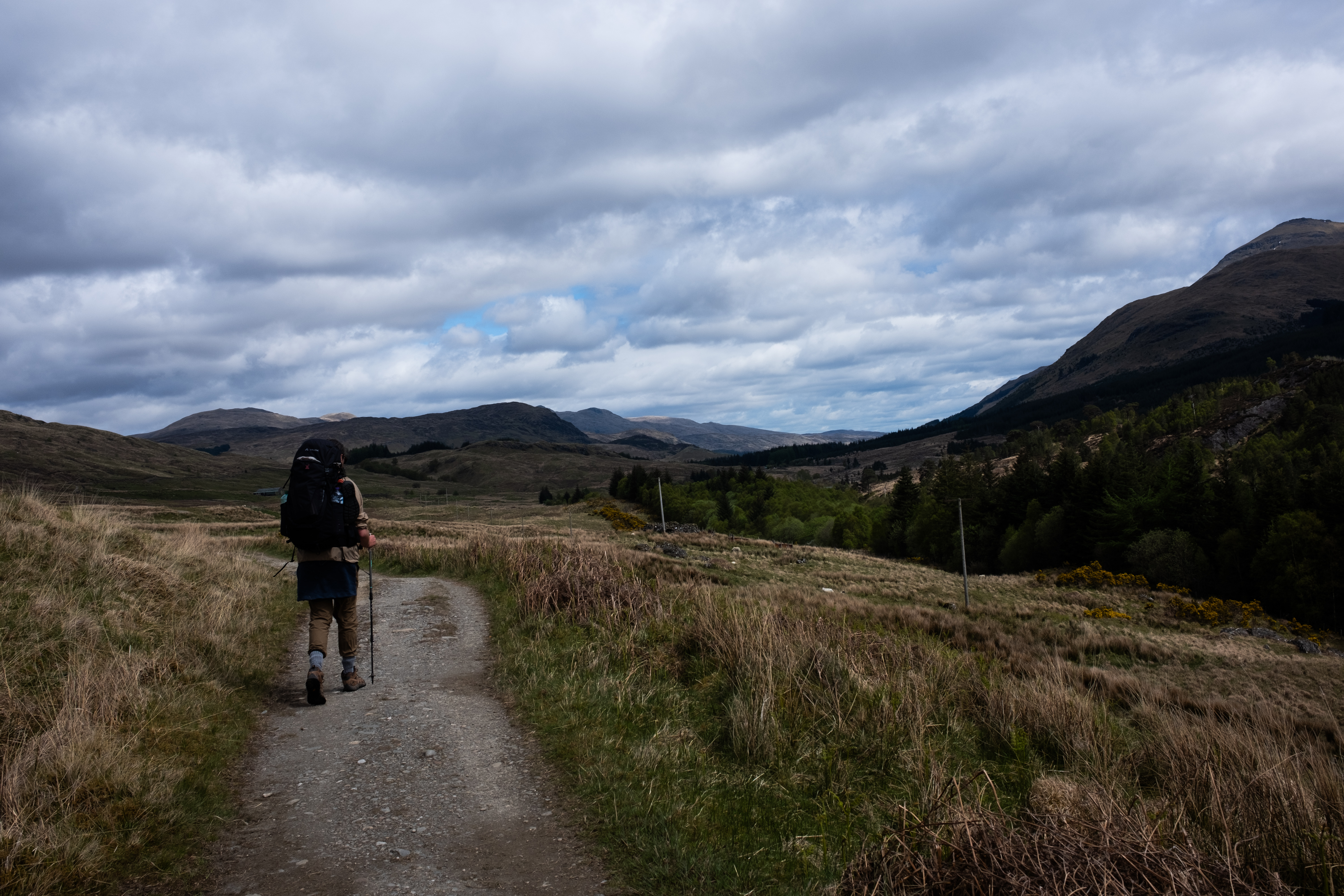
The sky started darkening earlier than we would have liked, so we picked up the pace in the second half. By the time we reached one of the last hills it had turned very windy, and I was anxious about finding somewhere to camp. Our guidebook had suggested Ewich House, a B&B just off the trail, but it was full. We reached the fork in the path and there was nothing obvious, so we walked two more kilometers until something workable appeared.
Our camping spot for tonight was located next to the train bridge, which was less than ideal, but sleeping next to the train was a fun, maybe once-in-a-lifetime experience. I love how our camping spots have their own personality - Conic Hill had a fantastic view, our spot past Rowardennan was just comfortable, and this one was just a bit odd, though it was nice to have a the bridge as a structure where we could use as out shelter in case it rains.
In the evening, we reflected on our day so far and I had to admit that the latter part of the day was probably my least favorite. When we hiked over the last hill and descended down to Crianlarich, before eventually finding our camping spot, we walked past many forestry work, and we saw trees being felled, hillsides left bare, with dead trunks slumped across each other. I don't know whether there are plans to replant. But it was a sad sight, a stark contrast to the bluebells and wildflowers that had lined the trail around Loch Lomond, everything growing at its own pace. Dylan mentioned that the West Highland Way was originally created partly to protect the area surrounding Loch Lomond. Standing there looking at those stripped hills, I could finally understand exactly why.