West Highland Way, Day 3 Cashel Campsite to Rowchoish Bothy (14 km, ↑ 609 m, ↓ 617 m)
Today we have another short day ahead of us, only 14 km but with a higher ascent and descent than yesterday. I don't exactly remember why I had decided to break down the first days into smaller stages - maybe it was to get around the camping restriction, but it could have also been because I had been reading so much about how the Loch Lomond part of the West Highland Way was not to be underestimated, especially when the weather was not in our favor. Today, it was looking like luck was still in our side. Despite the intense wind battering our tent throughout the night, we woke up to a relatively calm and quiet morning.
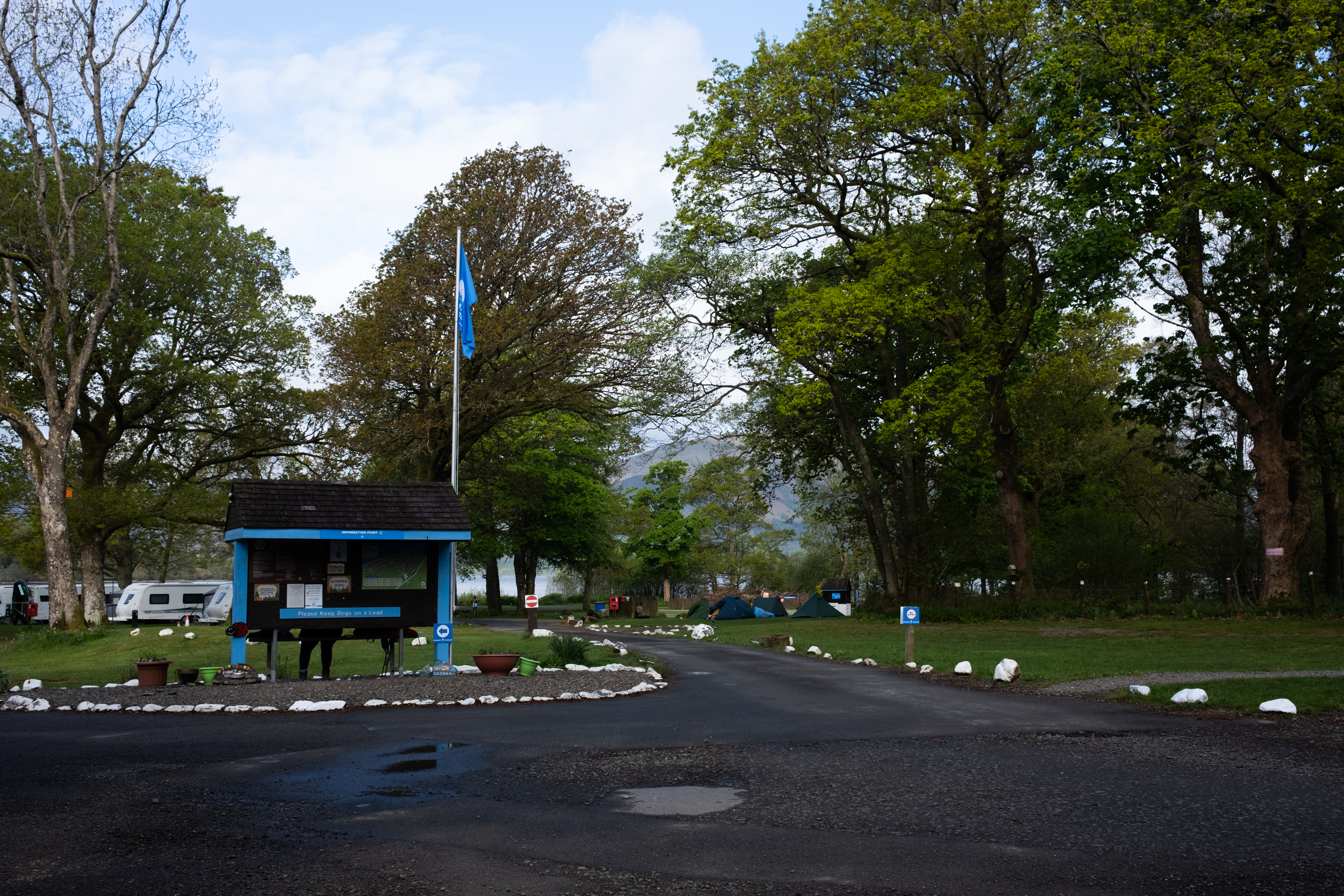
One of the small pleasures of staying at a campsite is the access to certain facilities. Cashel had a coffee machine, though it didn't start serving until eight. We decided it was worth waiting, partly to save gas, but mostly because the alternative was instant. Turns out it was a well worth it decision because they had cappuccino, something that I had been really missing even though it has only just been a couple of days.
Today's trail would be relatively straightforward: we would still be following Loch Lomond, finally exiting the Camping Management Zone shortly after a small town down the trail, Rowardennan. I had read comments on Reddit warning that the Loch Lomond section starts to feel relentless after a while, because it goes on and on until you're thoroughly sick of it, and I kept waiting for that feeling to arrive. But so far, it had not.
I do have fond memories of lakes: being around them, walking alongside them, observing the way the water sparkles when the sun is high. When I was growing up, my mom would take me and my sister to her hometown, Lake Maninjau, a lake in West Sumatra. This being a caldera lake, the lake is also enclosed on all sides by hills. I spent a lot of time there as a child: walking around the water, playing in the fields, eating grilled fish for lunch by the lakeside, moving through the forest with the lake shimmering underneath the hills. Hiking alongside Loch Lomond gave me something of the same feeling. The hills, the water, the sense of the vast, expansive lake as the center of everything. I was only missing the coconut trees.
If I can be honest, the one thing that I would note is that this stretch of the trail is never truly remote. Even deep in the trees, you can hear the cars and trucks on the highway running along the opposite side of the lake: a low constant whoosh that reminds you the world is still out there. And while usually when hiking I would truly look for remoteness, this time I somehow did not really mind. It's good to have something different every hike. And hiking from one end to the other of the largest lake in Great Britain was, noise and all, an experience in itself.
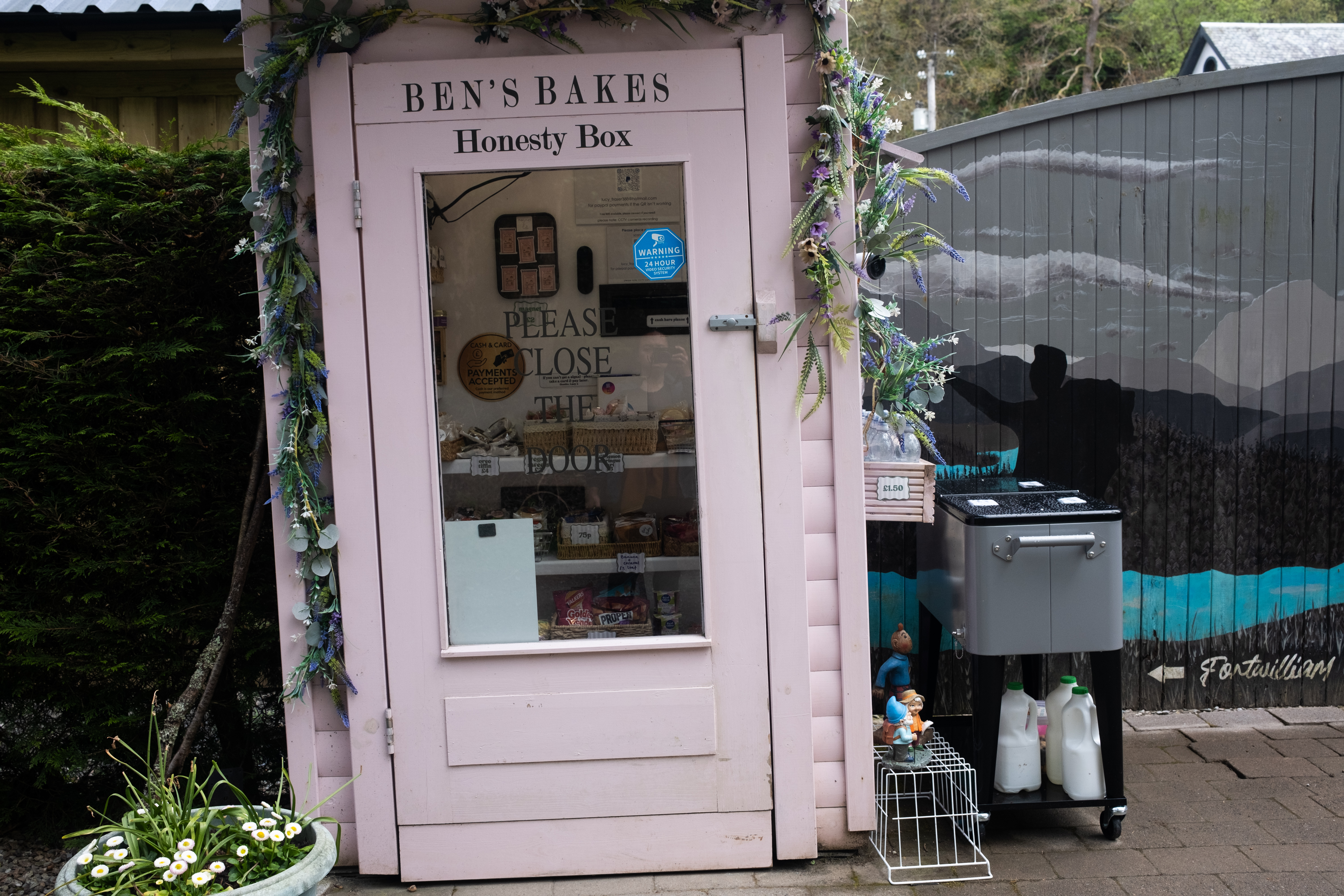
We heaved our backpacks on, everything packed away in our 48L backpack, and headed outside, powered by chocolate croissants that we picked up in Balmaha the day before and the campsite cappuccino. Shortly after we made it to Rowardennan, a small town that consists of a shop and a youth hostel, among others. We decided to press on, since it was too early for lunch anyway. But along the way we discovered a honesty box, selling fresh baked goods, and of course we could not not stop this time.
Almost every hiker that walked past also made a stop, whether to only take a look or to get themselves some baked goods, either to eat here or for the road. We decided to get some snacks for now, but also for breakfast tomorrow, since we would be wild camping and there was no other stop after Rowardennan before we reach the area where we planned to wild camp. The trail then took us back on the hills, then to the shore, a pattern that kept repeating until we reached a fork: the low route and the high route.
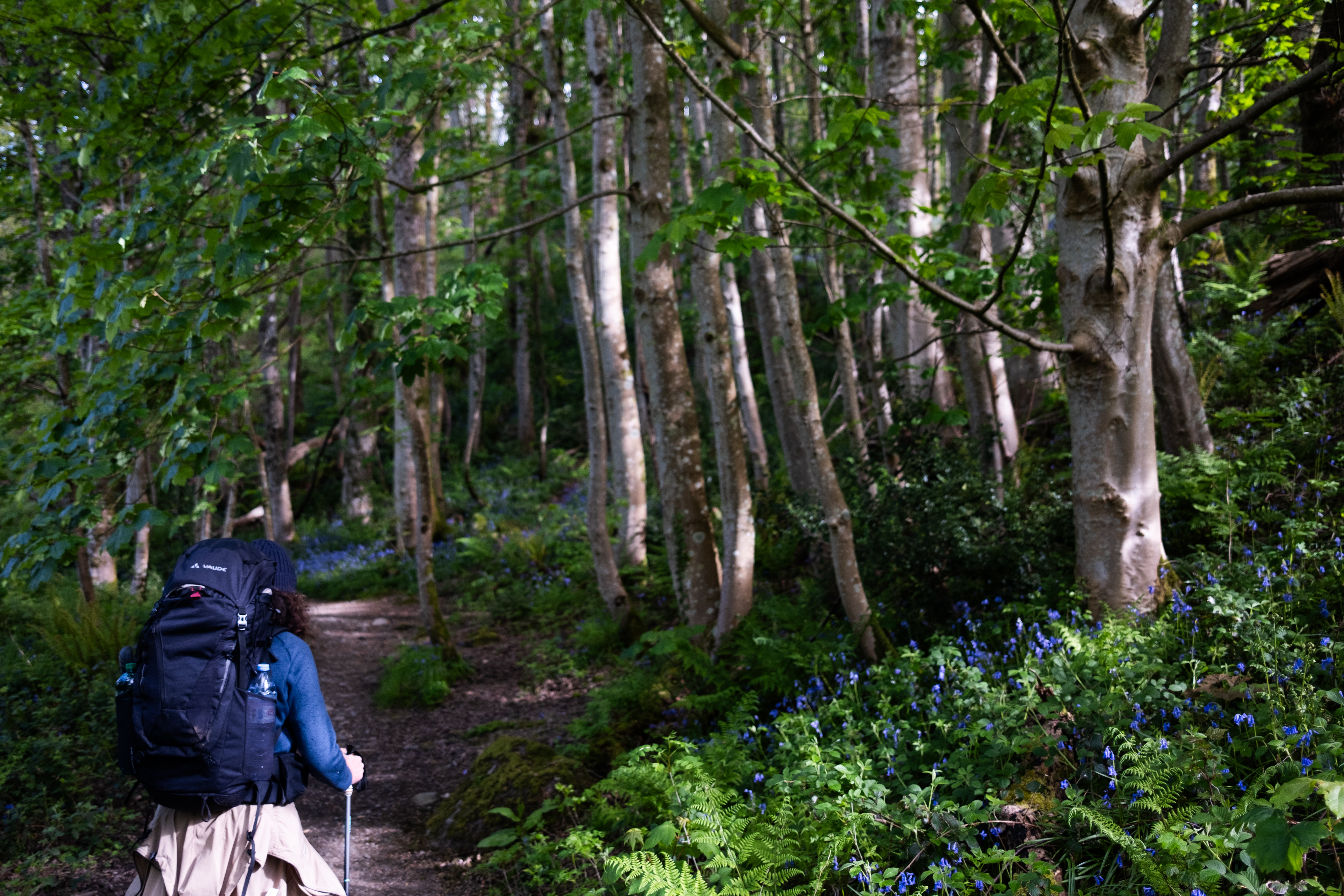
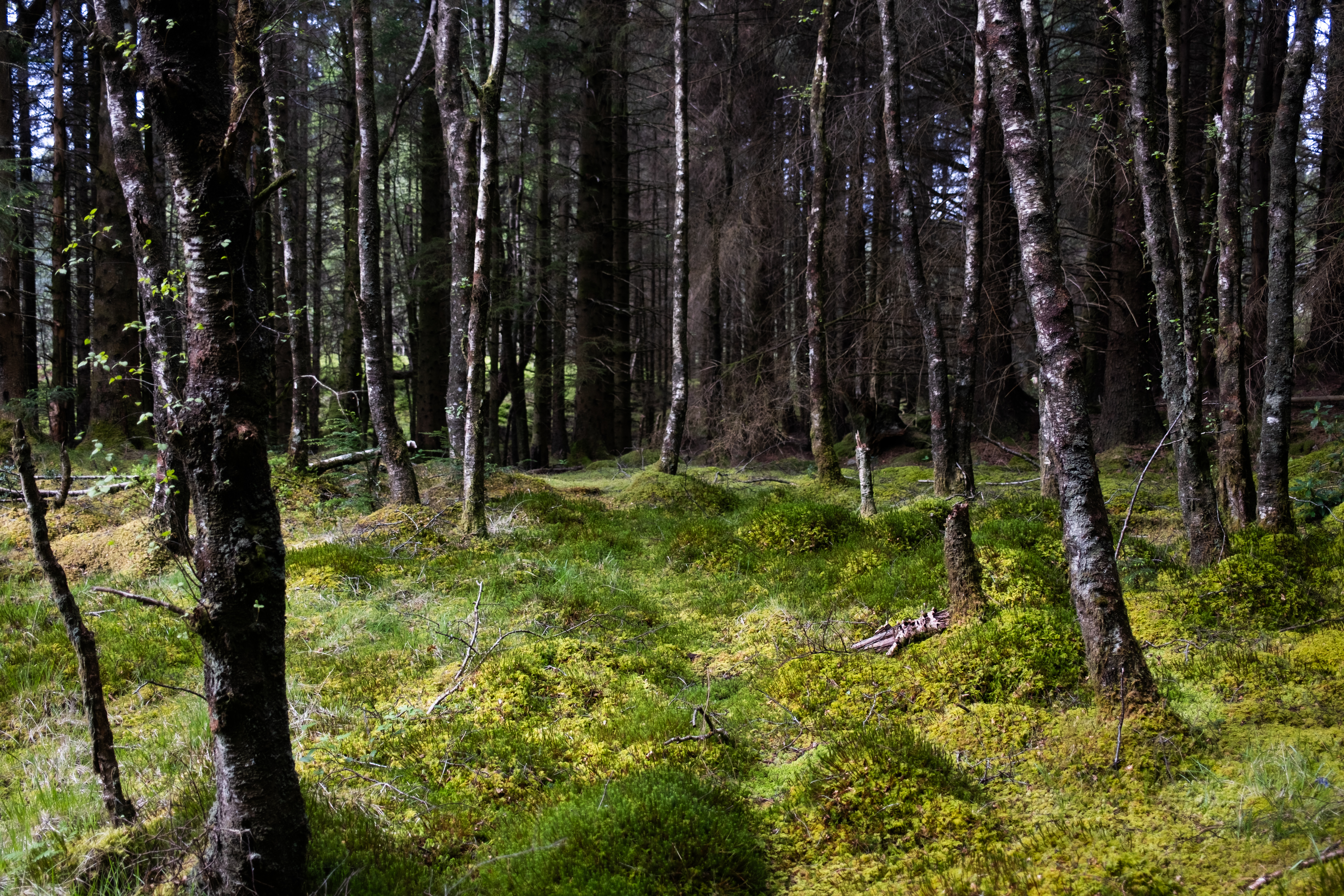
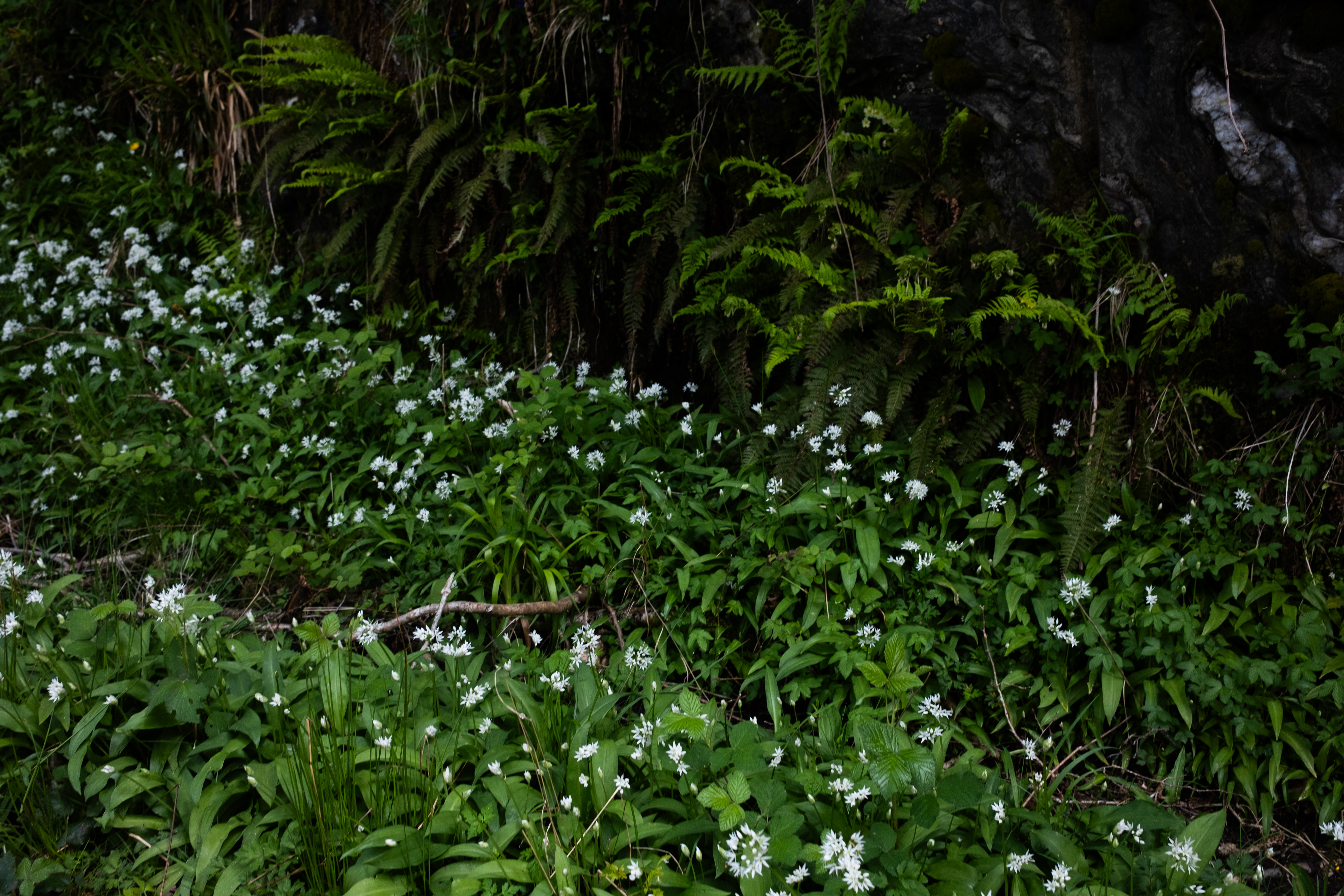
On alpine trails like the TMB, these alternatives exist everywhere, and the logic is usually consistent: the high route means harder terrain, steeper ascents, more exposure. Here it works the other way around. The low route is the difficult one, a narrow single-file path buried in tree roots and awkwardly sized rocks that need extra care when navigating. Meanwhile, the high route, by contrast, is a wide paved track, built specifically as an alternative for when the low route becomes too much. The choice this time was not ours to make, since the low route was gated shut, with a sign informing us it was closed for maintenance until the end of May.
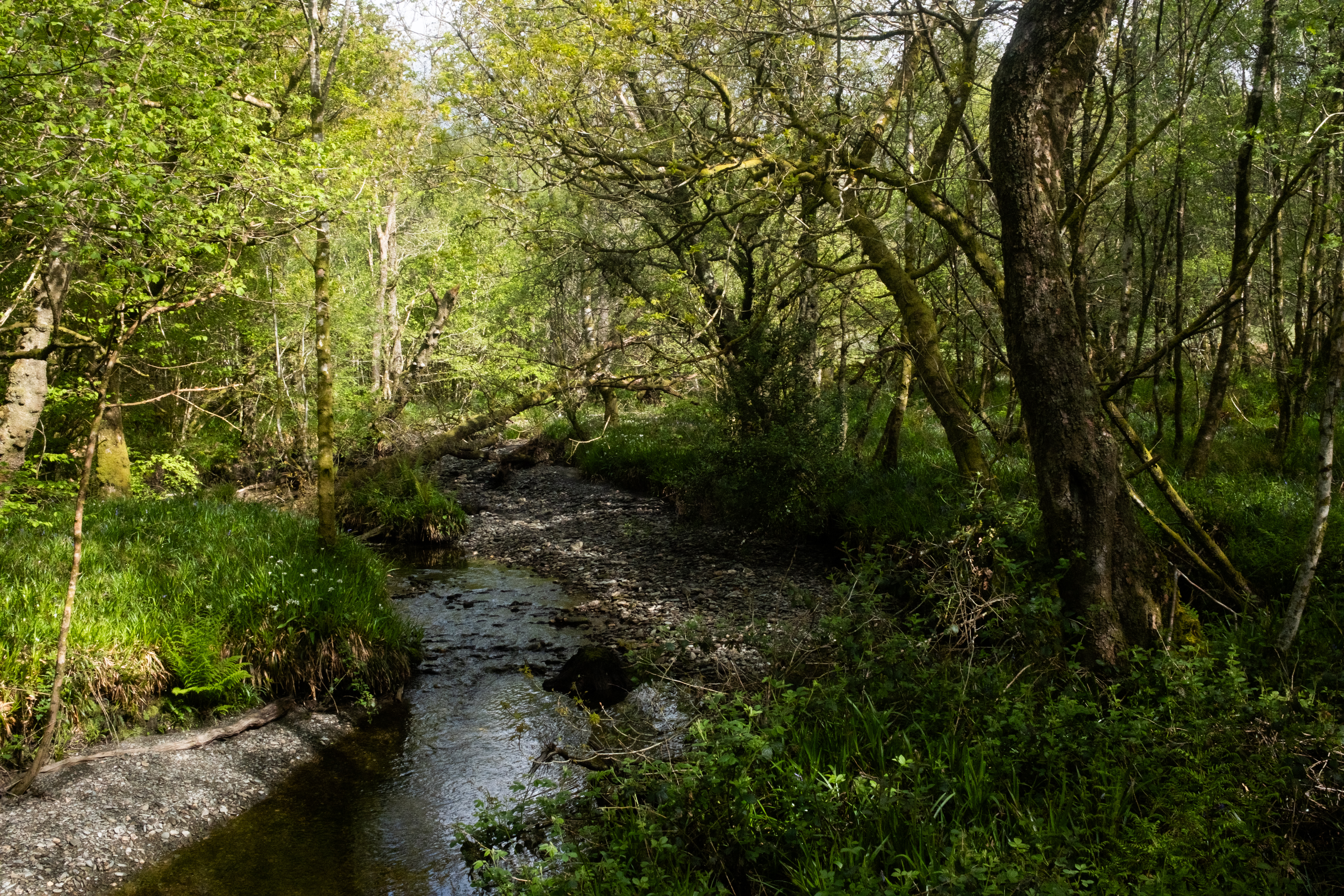
I thought this means the high route would give us a less impressive vista to show, but I was wrong. We were able to enjoy the landscape without having to worry about tripping over tree roots. We could actually look around and observe, and what we found was bluebells, streams, small waterfalls, and a forest floor was entirely carpeted in moss with a saturated green. We would have missed it, if we were walking on the low route.
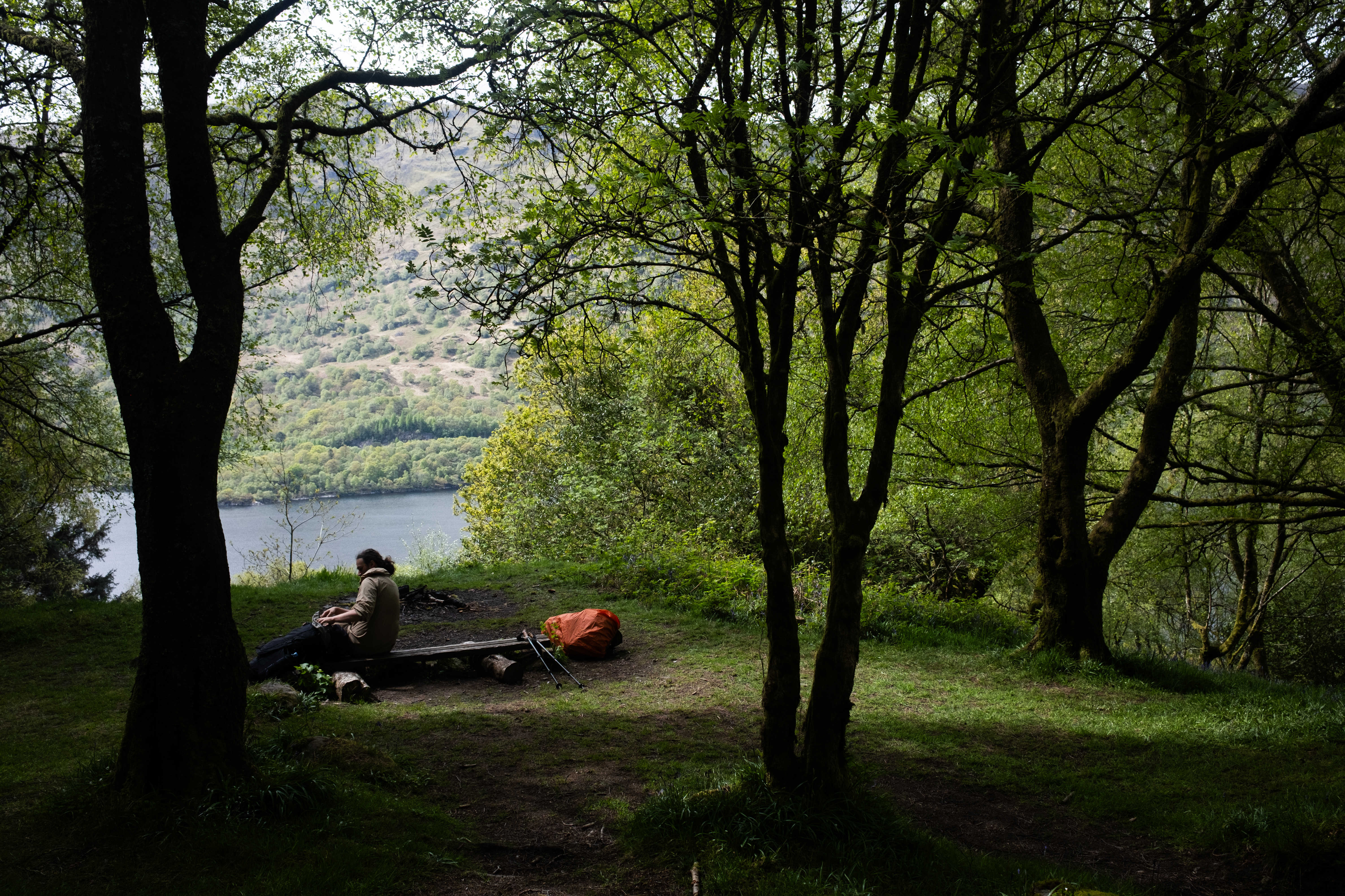
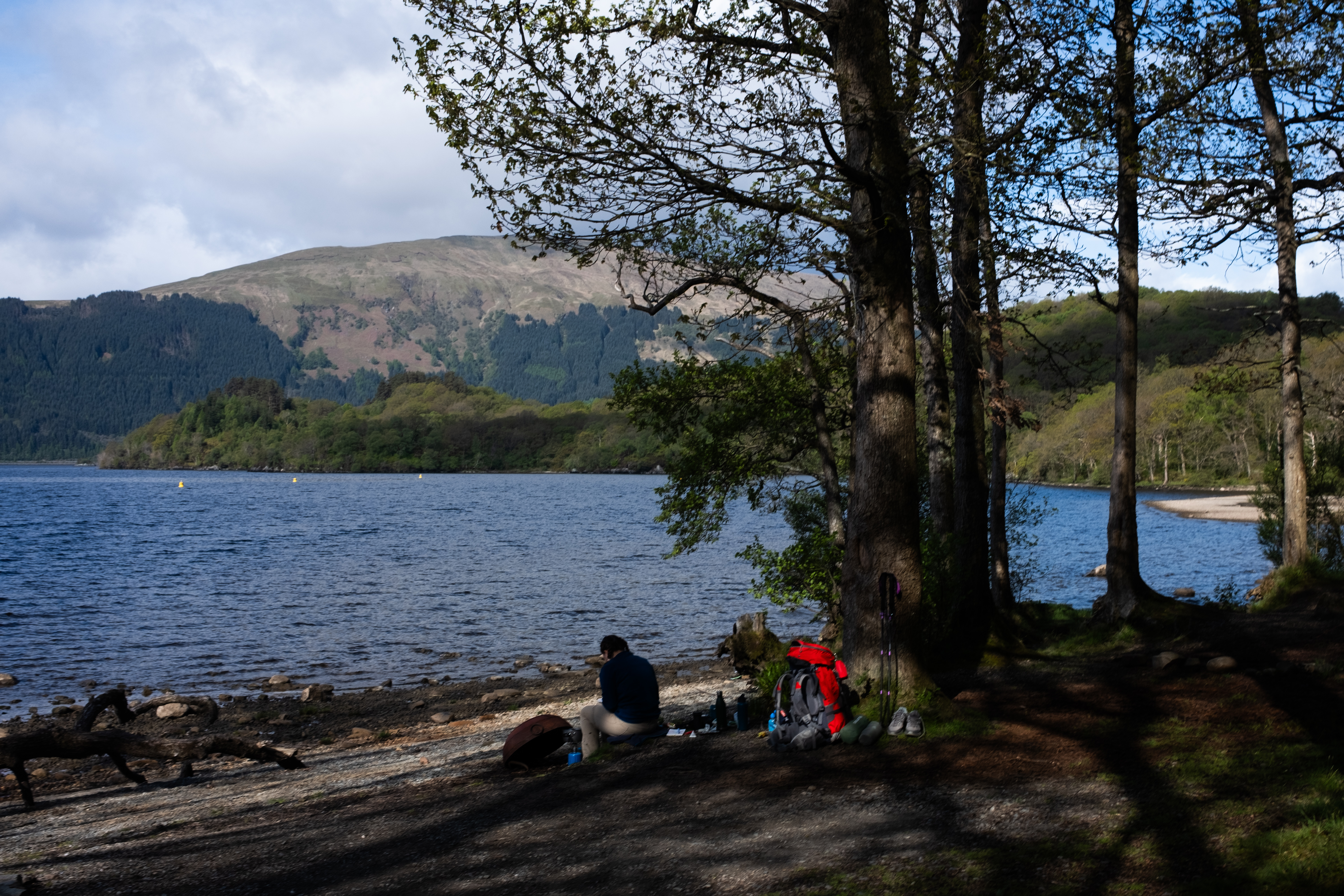
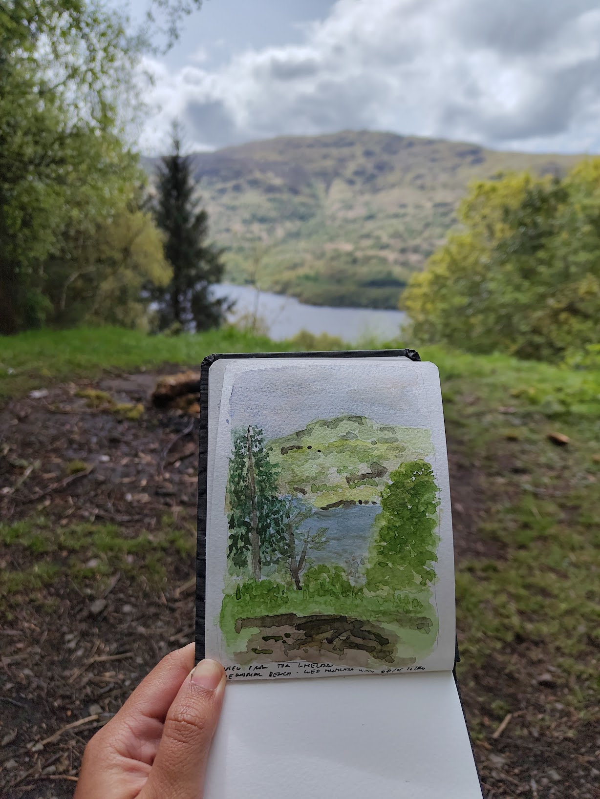
Another thing we would have missed was a beautiful camping spot that ended up being our lunch spot, since we stumbled upon it just in time as my stomach was grumbling. It overlooked the loch, and someone had put up a makeshift wooden bench perfectly positioned to face the water, as if it really was inviting us to pause and spend some time to just be still. I curiously looked at Google Maps to see if this was a particular spot meant for something, because it seemed almost too considered to be accidental, and I was right - it was marked as Tom Wheldon Memorial Bench, though the bench itself was nowhere to be found.
There wasn't much on Google Maps, so I searched for him properly. There were very few articles about him, some of them were West Highland Way blogs mentioning the exact spot, except for one obituary. Through it I learned that he had passed away after a long battle against cancer, and he too had actually spent most of his life researching cancer treatment. I seldom believe in serendipities but I sat with it for a moment. The birthday of my mom - who unfortunately had passed away also from cancer - was coming up soon, and it had been in the back of my mind since I woke up this morning.
Like Tom Weir whose memorial we passed by yesterday, he also had a passion for walking in the Scottish mountains. A paragraph in his obituary contained some of the nicest things you can write about the hiker in your life: "Walking the hills of Scotland can be a dull pastime in bad weather but an excursion in the company of Tom was always exciting. On these trips I learned more about global economics, politics, and philosophy than I have grasped from a lifetime of book reading." He sounded like a phenomenal person to have known. The bench, wherever it had gone, felt like the right place to eat lunch and think about the people who have inspired us, and are no longer here.
We continued along the track at a steady pace until the diversion ended and the two paths rejoined into one trail, which would carry us all the way to the end of Loch Lomond. We'd decided to stop somewhere after the Rowchoish Bothy, one of many free bothies owned and maintained by the Mountain Bothy Association. A bothy is a simple stone building with basic furniture, free for anyone to use as shelter. They used to belong to farmers, rented out to the shepherds who worked the land, then was out of use until the association took over. We didn't get to see this one since it sits on the low trail just before the diversion, but I had noted of its location in case the weather turned and we needed something sturdier than a tent to get through the night.
Fortunately, the weather seemed to be only getting better as the day continued. By the time we passed the junction, the sun was still high and stopping felt wrong. But we couldn't push too far ahead either, since the next day we had a hotel booked in Ardlui, a pause at the halfway point, a small celebration of the fact that we had made it this far.
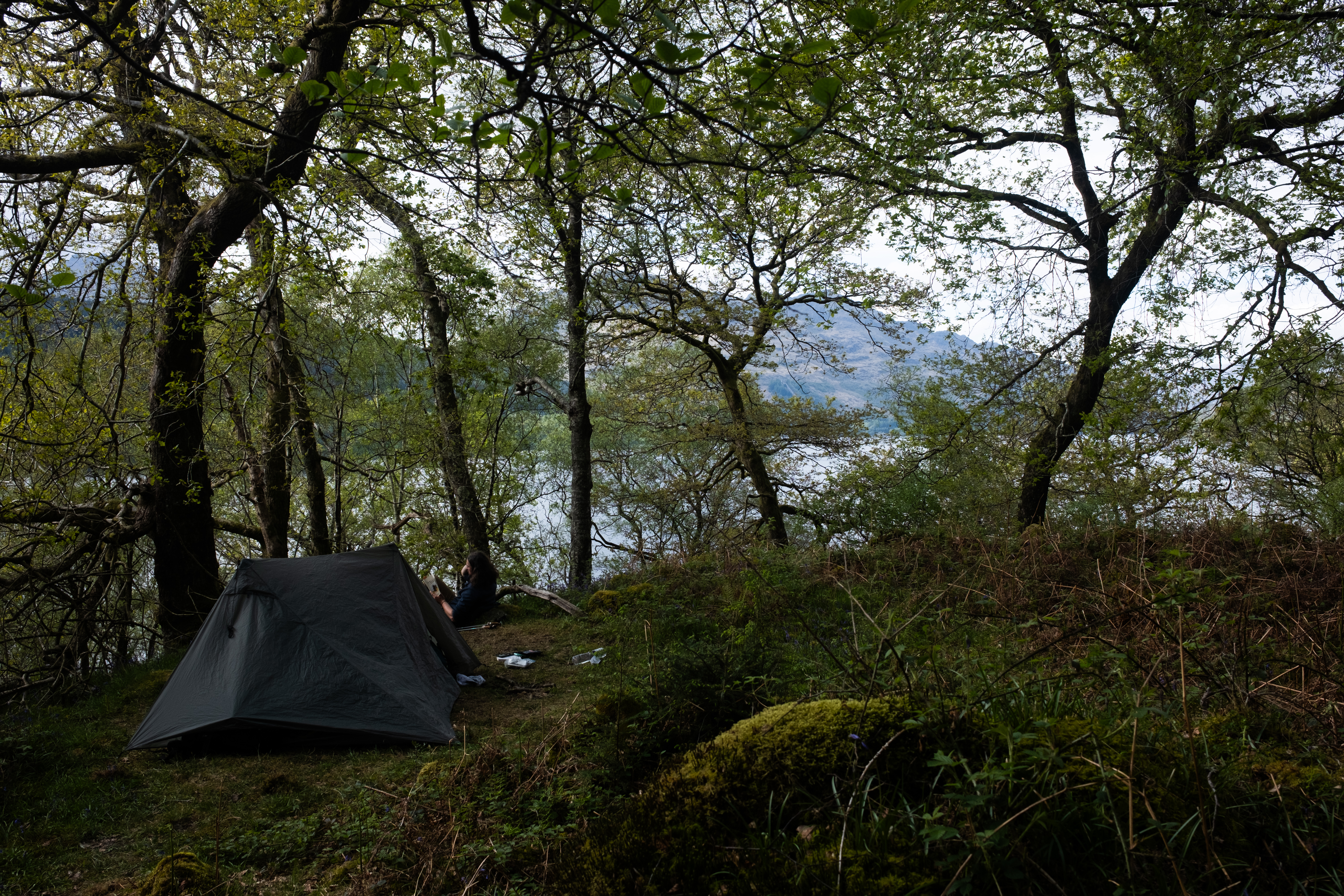
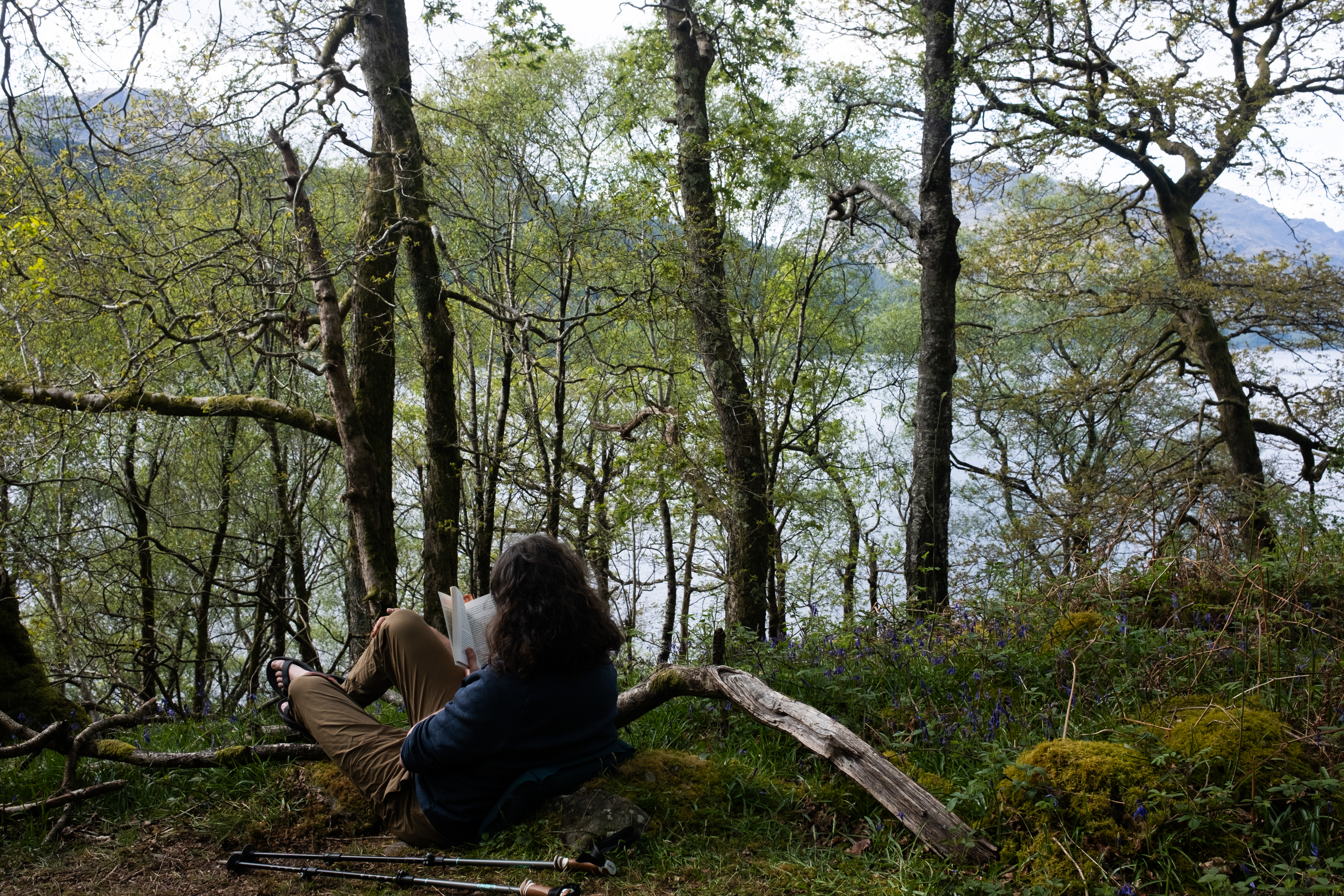
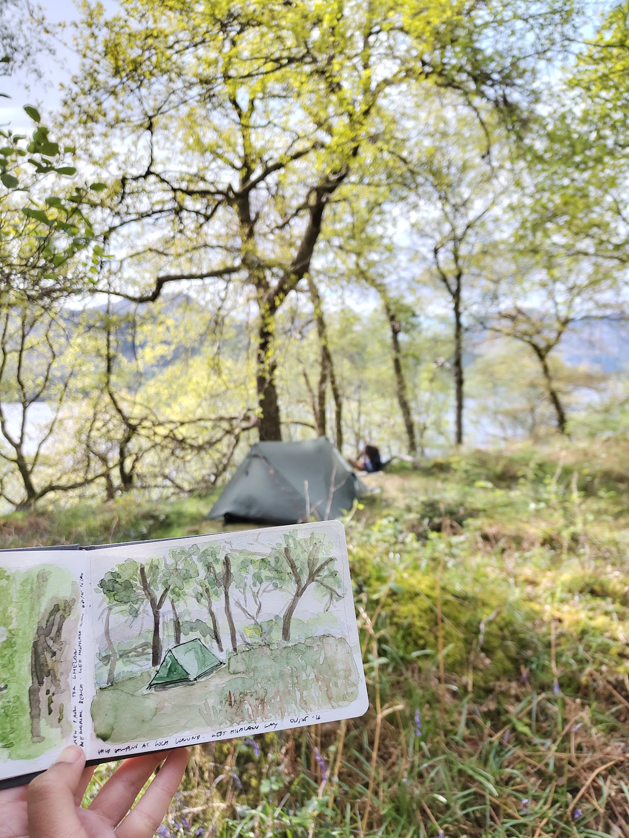
A FarOut comment had tipped us off about a wild camping spot two kilometer past the bothy. The commenter had called it their favorite on the entire West Highland Way. Standing there, I could see why. It was elevated, looking out over Loch Lomond, completely flat and ringed with bluebells, sheltered enough that the we could barely feel the wind. We put our backpacks down and looked at each other and decided that, yes, that was that. We spent the rest of the afternoon reading our books, doing very little, watching the light change over the loch, before setting up the tent and cooking our freeze-dried dinner as the evening came in.