West Highland Way, Day 1 Milngavie to Conic Hill (25 km, ↑ 353 m, ↓ 312 m)
Eight years ago, I embarked on my first solo trip halfway across the world to Scotland. Why Scotland, one might ask? The answer was embarrassingly practical: I had the opportunity to speak at a now-defunct 3-day JavaScript conference in Edinburgh to talk about how to make cute little programs and dashboards in your terminal. Since it would take me an entire day to fly to Edinburgh from Jakarta, it didn't make much sense for me to fly back three days later - might as well spend some extra days to travel and explore what Scotland has to offer.
I gave myself an extra week and thought about going outside Edinburgh. Since I wanted to see some nature, I decided on visiting Isle of Skye, the largest island of the Inner Hebrides on the north of Scotland. The sensible option would have been a tour van that takes you there and back in a day. The opposite, but I would argue more adventurous (though not necessarily more budget) option would be to take public transportation. Thanks to some helpful Reddit comments and TripAdvisor comments, I figured out the way to do it, which would involve a mix of train, ferry, and bus. Three days on the road total, instead of the convenient one day option, and yet I took it anyway. One of the transportation leg involves a train from Fort William to Mallaig, which is a train operated by ScotRail that runs on the West Highland Line.
Little did I know that this whole ordeal of getting to Skye with public transport was pretty much a symptom of the running theme of my life. Anyone who knows me knows I will happily spend hours hyperoptimizing a system, making everything faster and more efficient - in some ways, this is literally my job - and yet, in the most unexpected moments, I will turn around and choose the slower, harder, less convenient option just for the fun of it. These are the kinds of choices that make me second-guess myself: why? Only for me to find out that there is something waiting in the less obvious path. Figuring this trip all by myself - navigating three different websites, asking Internet strangers questions about the latest bus timetable because the one I found didn't seem to be up to date - these all gave me a confidence that has outlasted the trip itself. I learned that I could always untangle the most complicated itinerary, a skill I've drawn on for every trip since, and for a good many life situations besides.
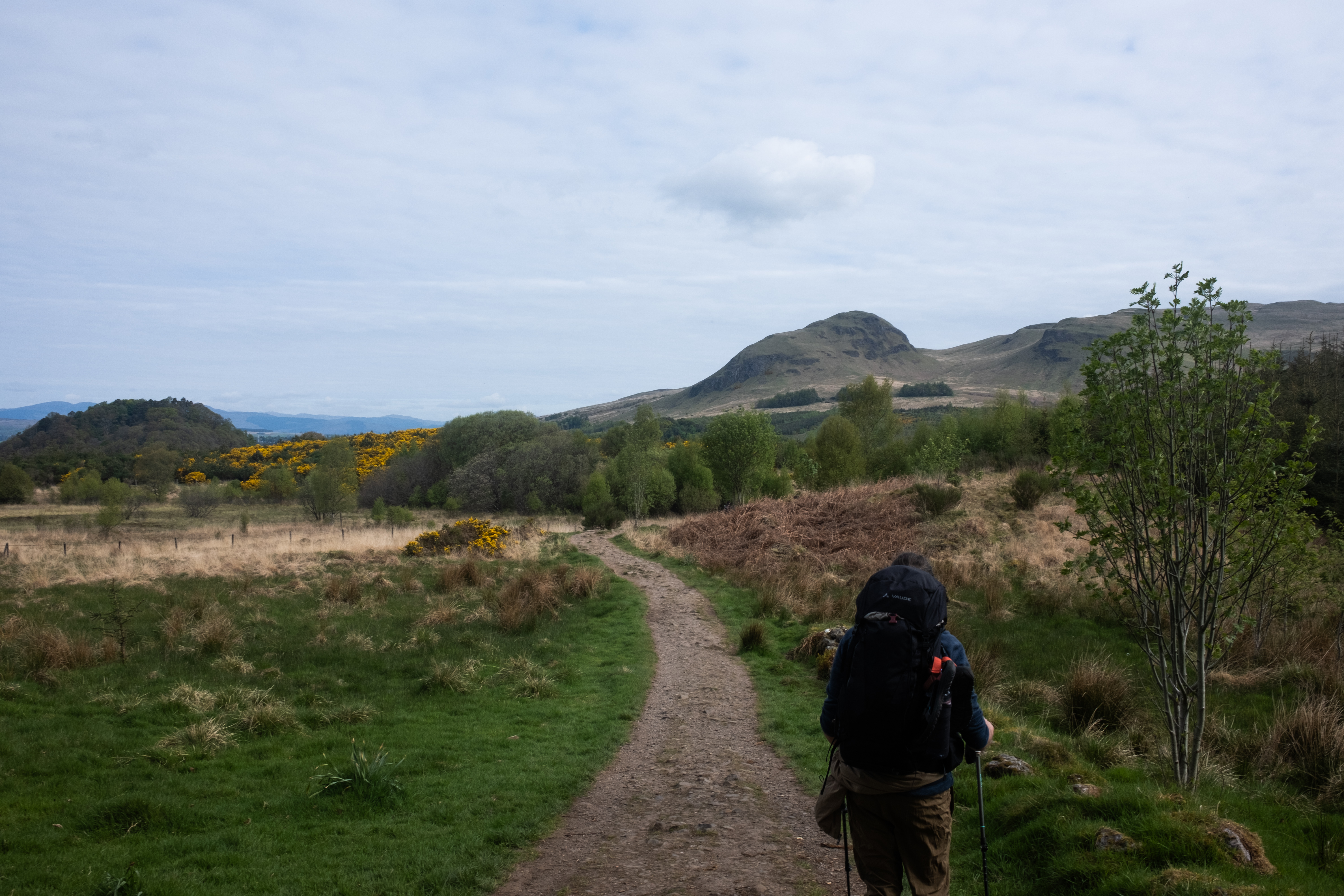
But the train gave me something else, too. The West Highland Line traverses through some of the most uninhibited stretches of Scotland. For miles and miles sometimes all you would see is open, desolate landscape, with the occasional sheep or, if you are lucky, a deer or two. As I was sitting on the train to Mallaig, I watched the landscape pass me by and noticed some movements. It was not a sheep that I saw, nor a deer: it was a group of people, walking poles firmly gripped in both of their hands, with backpacks towering over their head, moving steadily across the desolate field. I didn't know why they were there, or how they ended up in the midst of all these wilderness, but they seemed to know where they were going. And although I enjoyed watching the landscape from the comfort of my train seat, something shifted in me. I thought to myself: wouldn't it be nice if I could get off this train and explore this landscape on my own two feet? The least efficient option imaginable, but somehow the one I suddenly found myself yearning for.
Some time later I would learn that those people that I saw from the train are hikers, and most likely they were walking a long-distance trail called the West Highland Way. This trail didn't end up being the first trail I ever attempted, mostly because the timing is tricky: go in the summer and you will be swarmed by midges. Go in the autumn or winter and you'll be racing the daylight. Go any time in the year and you will be guaranteed soaking rain. There just never seems to be the right time, but my guidebook and people online seem to be in consensus that if you have the privilege to choose, May would be the perfect time for it. Another reason would be that Scotland allows wild camping, and I wanted to save this trip for the time when I feel confident enough to tackle multi-day hikes, with the full weight of camping gear in my backpack. A few hikes later, I decided that I was ready.
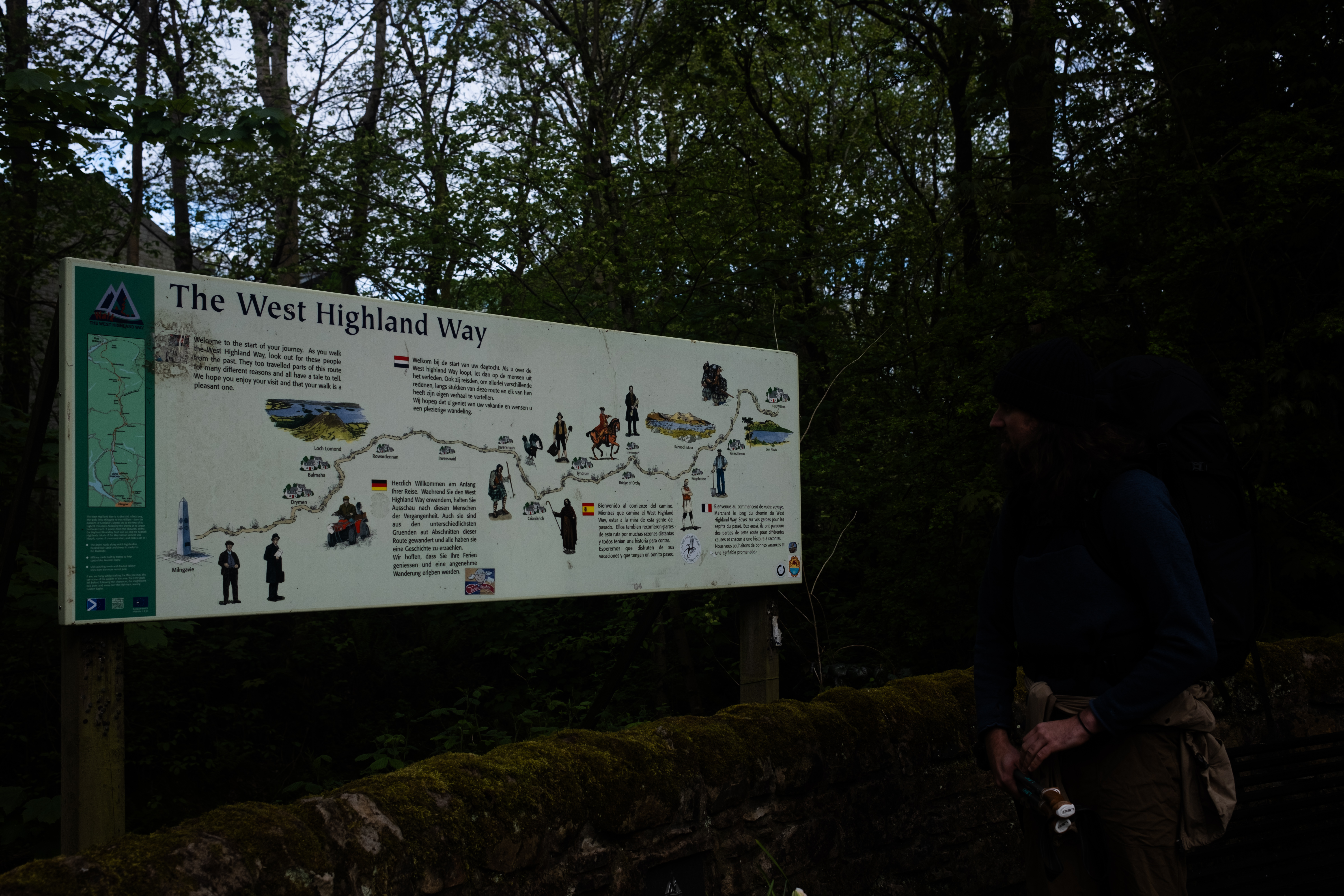
The trail starts from a town called Milngavie (pronounced mull-guy) and ends in the Highlands, in Fort William. The most interesting fact we discovered about Milngavie is apparently that nearby was the site of the prototype of the Bennie Railplane, which is exactly what the name says: it's as if a train and a plane had a baby. Other than that, Milngavie is a commuter town where people working in Glasgow would go to sleep. This actually works in our favor: while getting to the trailhead of a trail is usually not a straightforward business, West Highland Way, in comparison to other trails I have hiked, are more convenient in this regard: Milngavie sits just north of Glasgow and is a mere 15-minute train ride from the city. The only complication for us was that, for reasons best known to the aviation industry, there are very few direct flights from Berlin to Glasgow. So we flew to Edinburgh, took a train to Glasgow, and arrived in Milngavie in the late afternoon, just in time for dinner.
... which, as it turned out was much harder to find than I thought it would be. Milngavie looked pretty dead even though it was barely 18:00. Not even Subway is open! I had to recheck to make sure it was not a public holiday. At the end, a fish and chips local shop saved our day, with a portion big enough that we could reasonably consider this carb loading before our first day hiking tomorrow.
We set out at 07:00, though I wasn't entirely sure what time one is supposed to start on the West Highland Way. Every trail to me seems to have its own schedule: I remember always starting at 06:00 when walking the Fisherman's Trail to avoid the scorching hot sun, and TMB had a slower start where breakfasts would only be served at 07:00. West Highland Way will be interesting for sure since we are camping along the way - technically we have no restrictions and could go as early as we would like.
I was expecting a swarm of hikers starting at the same time from Milngavie, given the popularity of this trail, but the town was just as quiet as yesterday. We didn't really see anyone with backpacks until we saw two hikers walked into Gregg's where we were having some breakfast rolls and coffee.
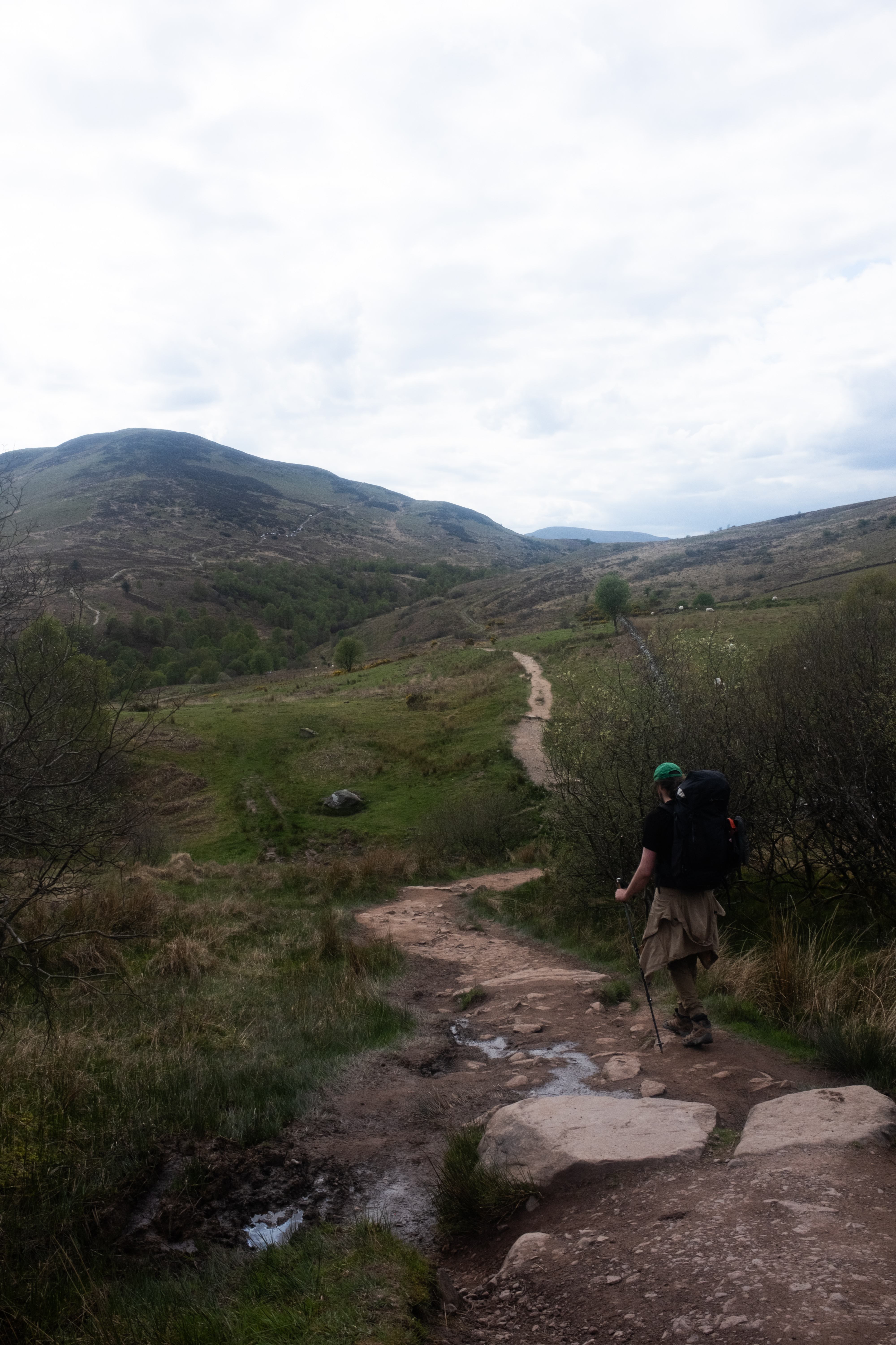
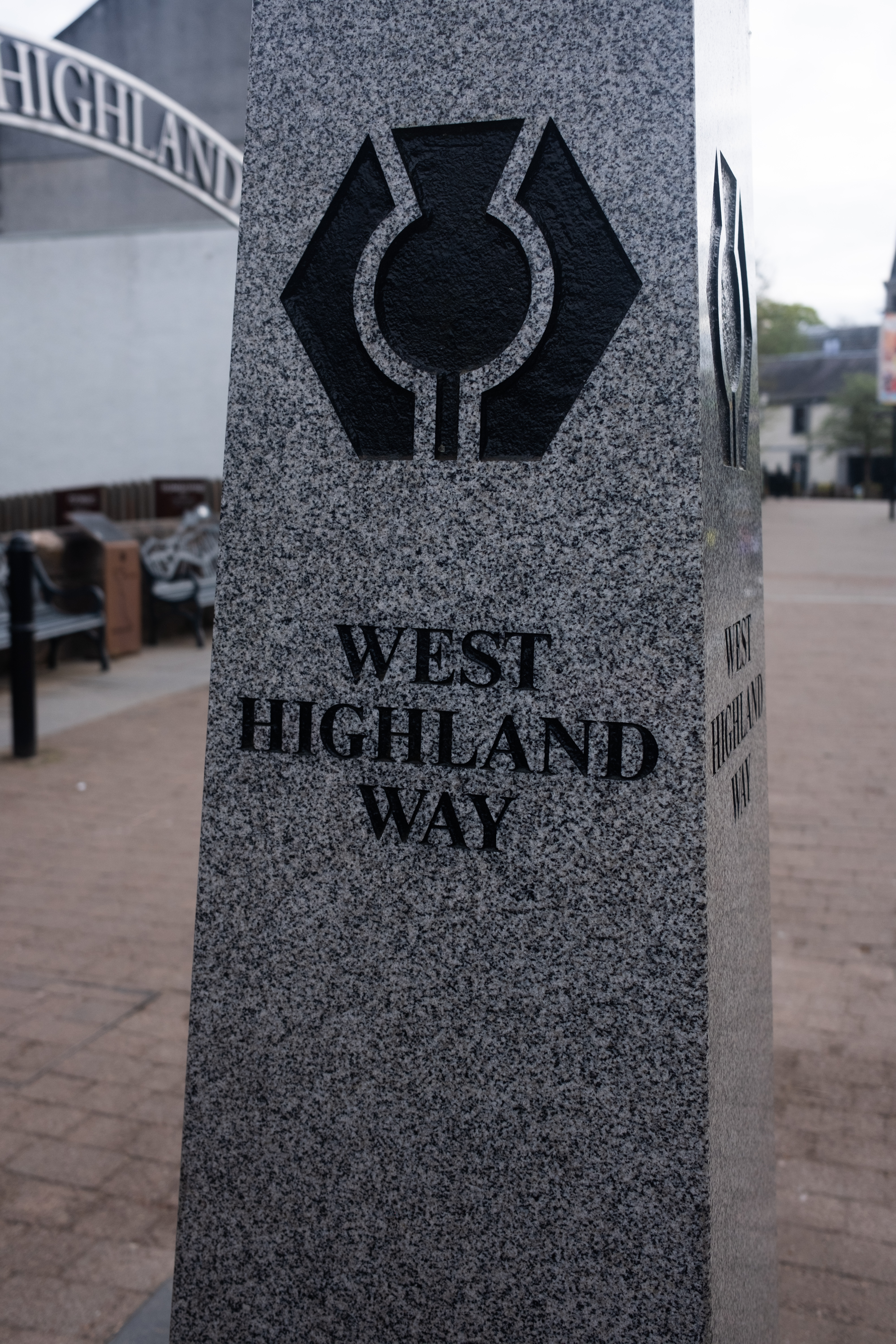
The start of the trail could not have been more obvious, with an obelisk in the middle of the main street with WEST HIGHLAND WAY spelled out in large serif capitals. After taking an obligatory selfie, we marched out of town, passing by carparks and community buildings. Within fifteen minutes Milngavie had disappeared behind us and we found ourselves in the woods, the path narrowing to dirt underneath my feet.
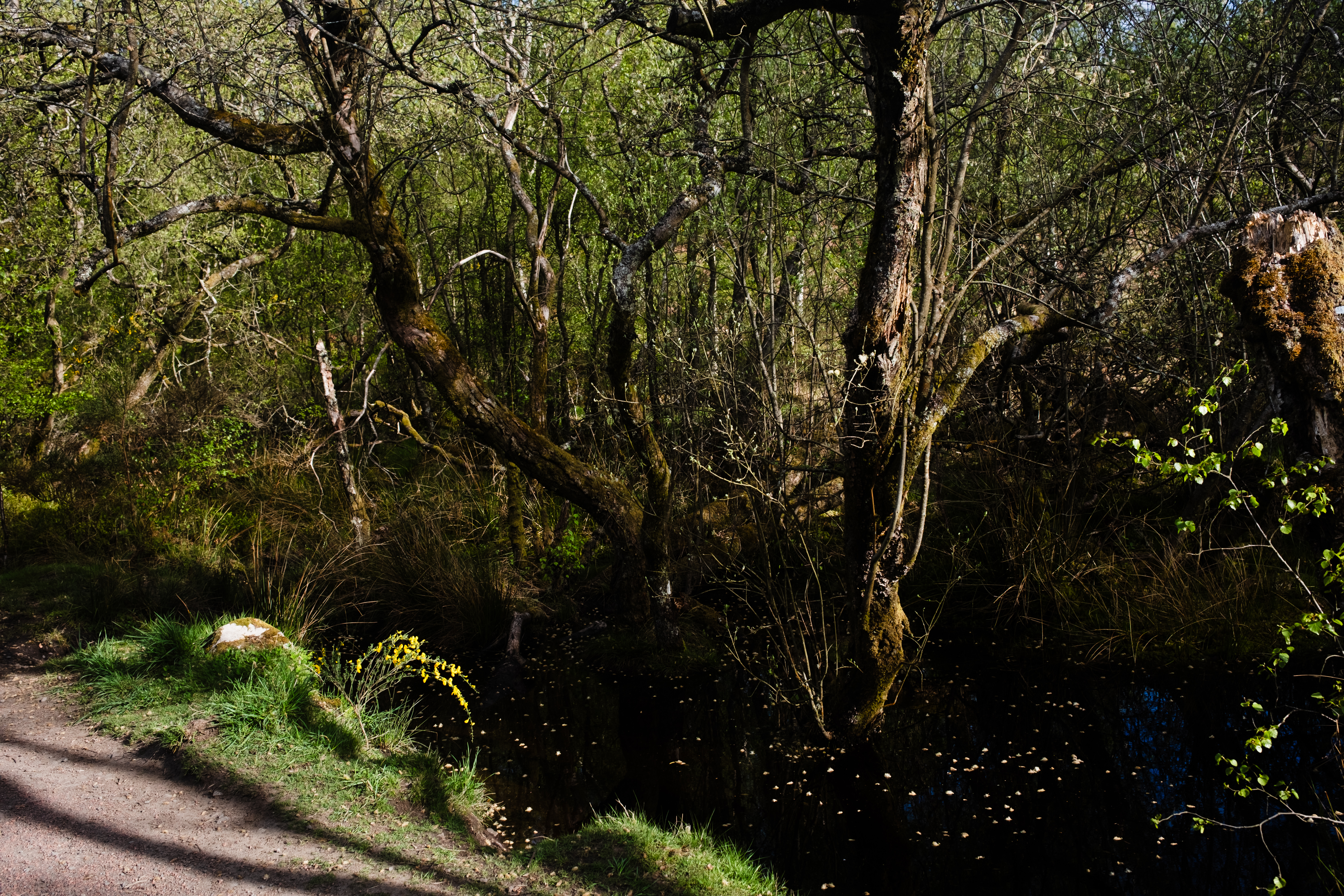
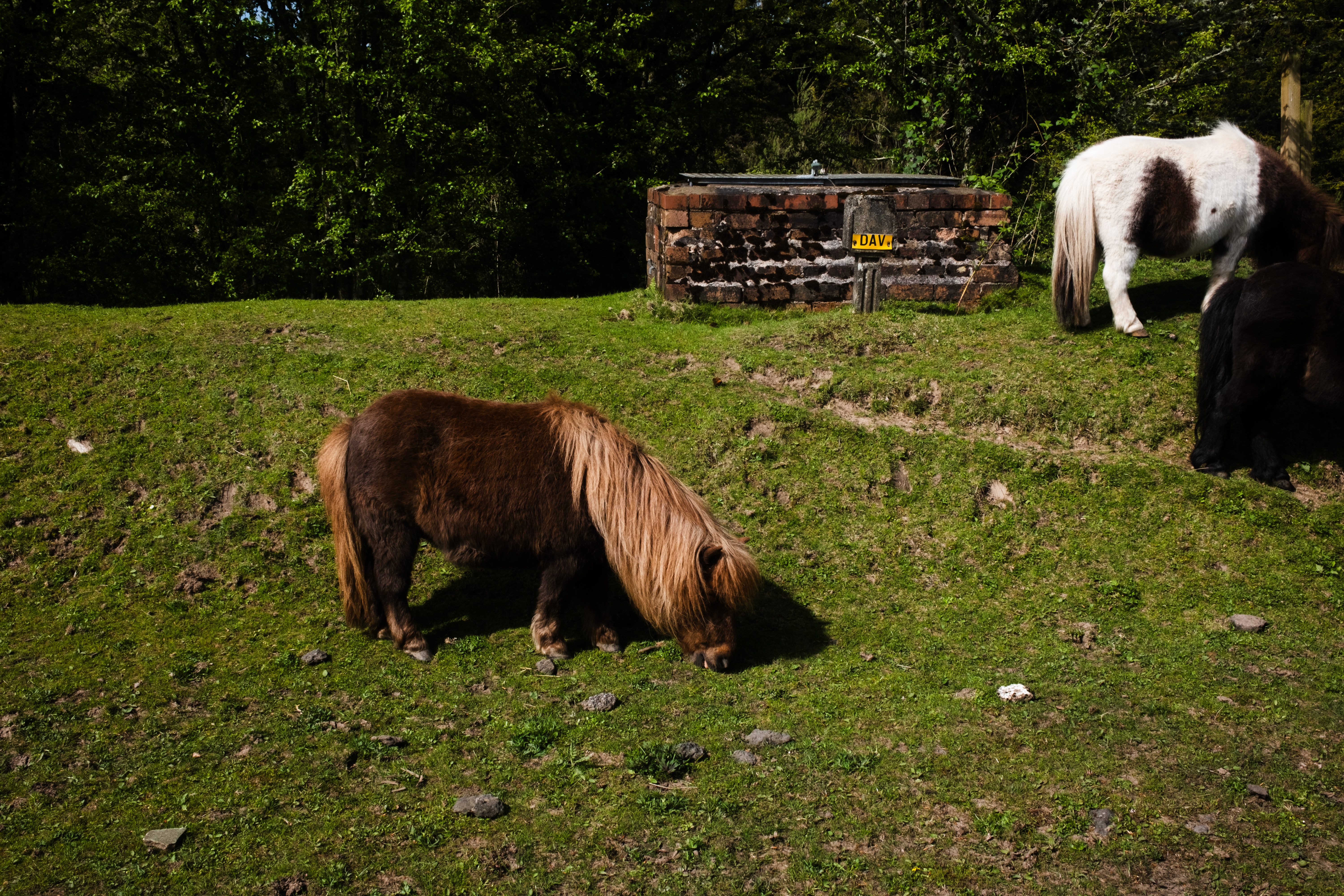
One of the main attractions of the West Highland Way is Loch Lomond - the largest lake in Great Britain by surface area, so vast that it usually takes hikers two days to hike from one end to the other. But even before Loch Lomond, the trail passes two other lochs, Craigallian and Carbeth. Up until this point, the trail was quite gentle that it felt more like a pleasant walk, just with a heavy backpack.
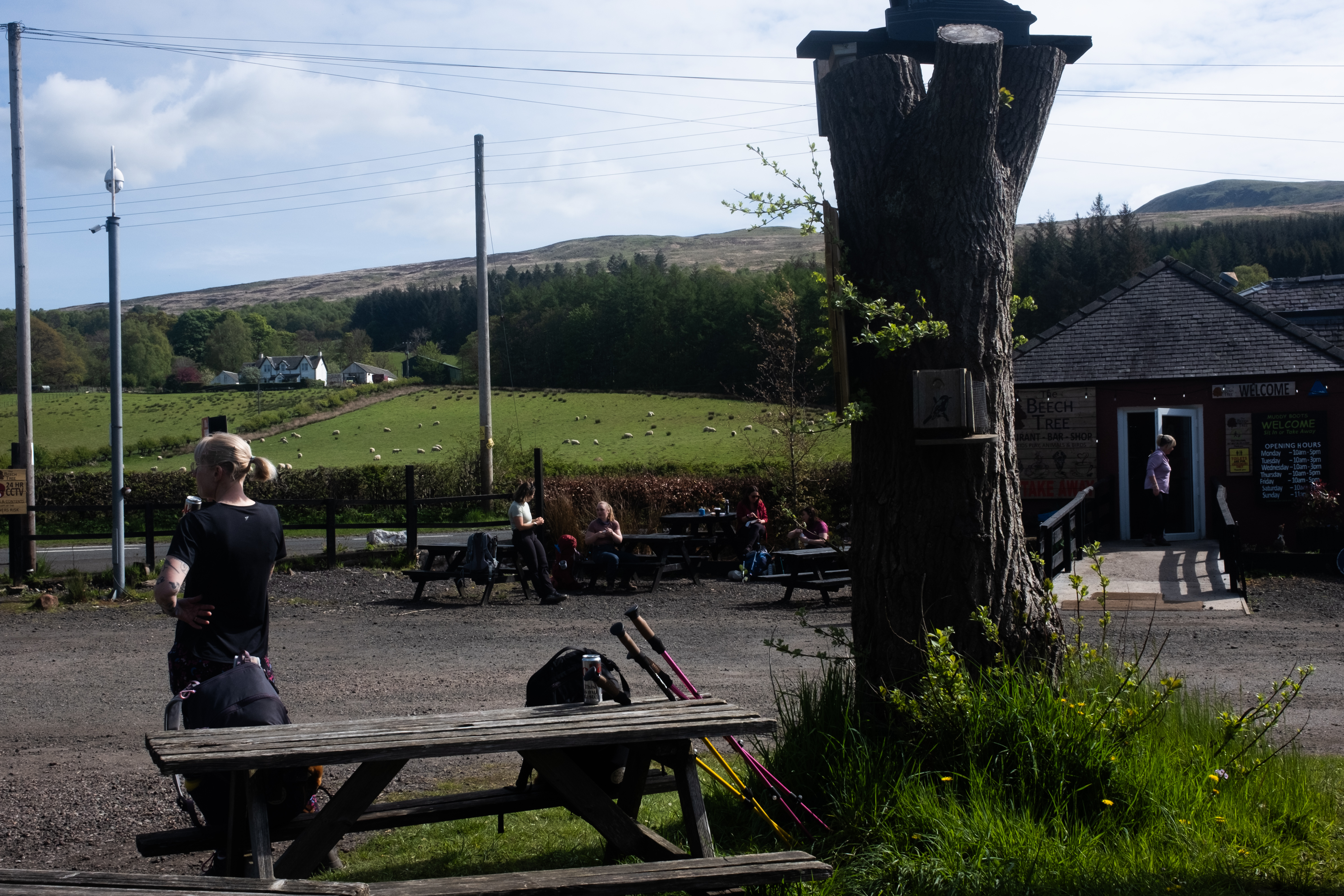
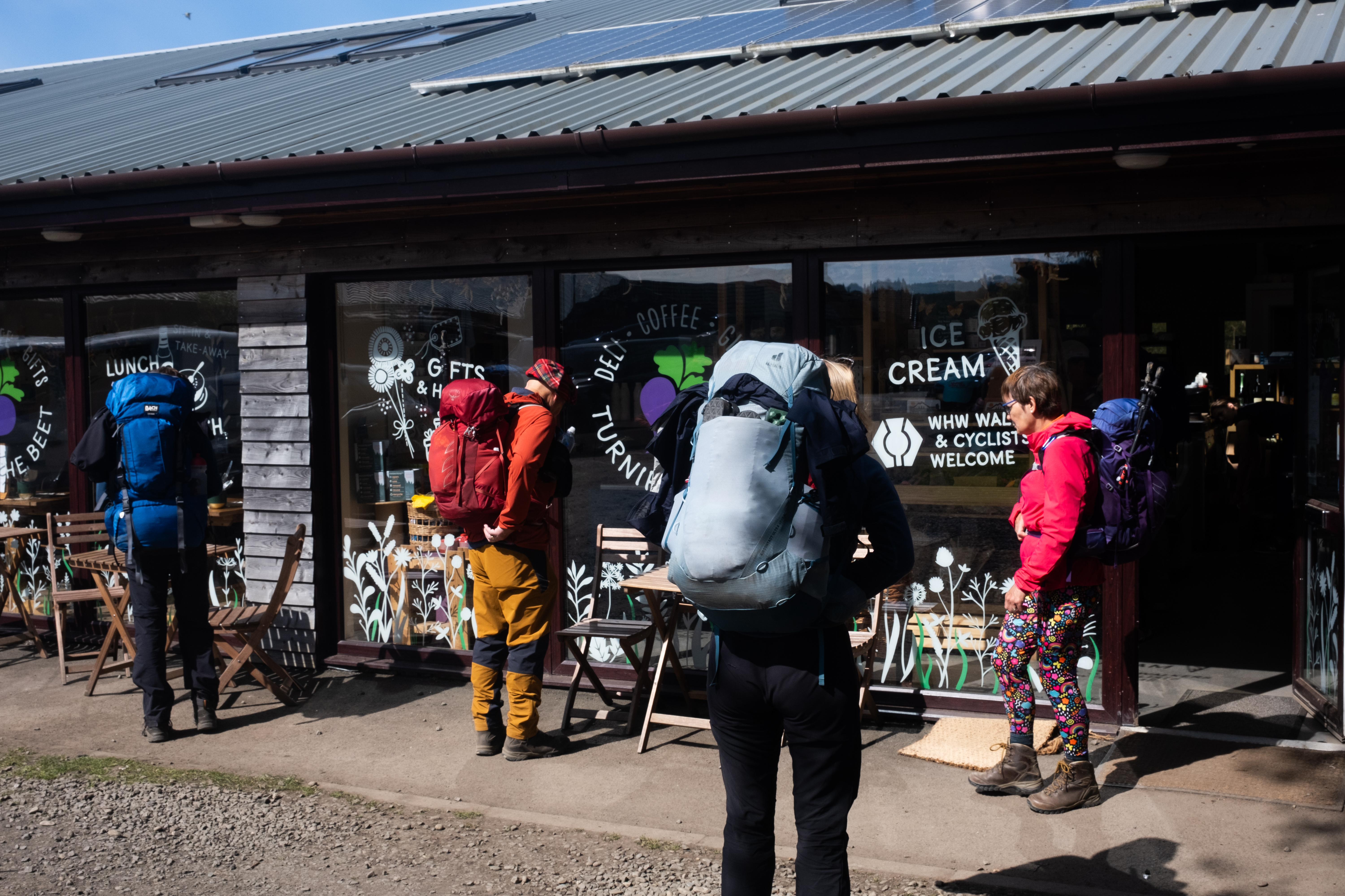
Still, the sun was already high and I was sweating more than I'd anticipated. By lunch time I was already hankering for some food. We walked past the first stop, choosing to go further to Turnip the Beat (Dylan had to explain to me that this was a pun, because turn up the beat, get it? Which I had completely failed to notice) because some reviewers on Google Maps has promised me that they serve naan, and the prospect of having Indian food mid-hike has etched itself into my brain as a thing I needed to happen. What a luxury! When we arrived we later found out that it was not an actual naan, but instead is something called a naanwich, basically a sandwich with naan bread. No curry in sight, but I'll take what I can get. There is also a shop inside and it has all sorts of hiking and camping stuff such as gas canisters. Here I also picked up some cardamom buns for our breakfast tomorrow and the official West Highland Way passport, which you can fill up with stamps that can be found in various establishments along the trail.
After a fulfilling lunch (and a can of Irn-Bru, often called Scotland's second national drink, which basically tasted like Inca Kola's sibling to me and is therefore my newest addiction), we hoisted our backpack again and continued our journey. This is where we started to think seriously about where to sleep tonight - for a planner like me, this is something uncomfortable to not know in advance.
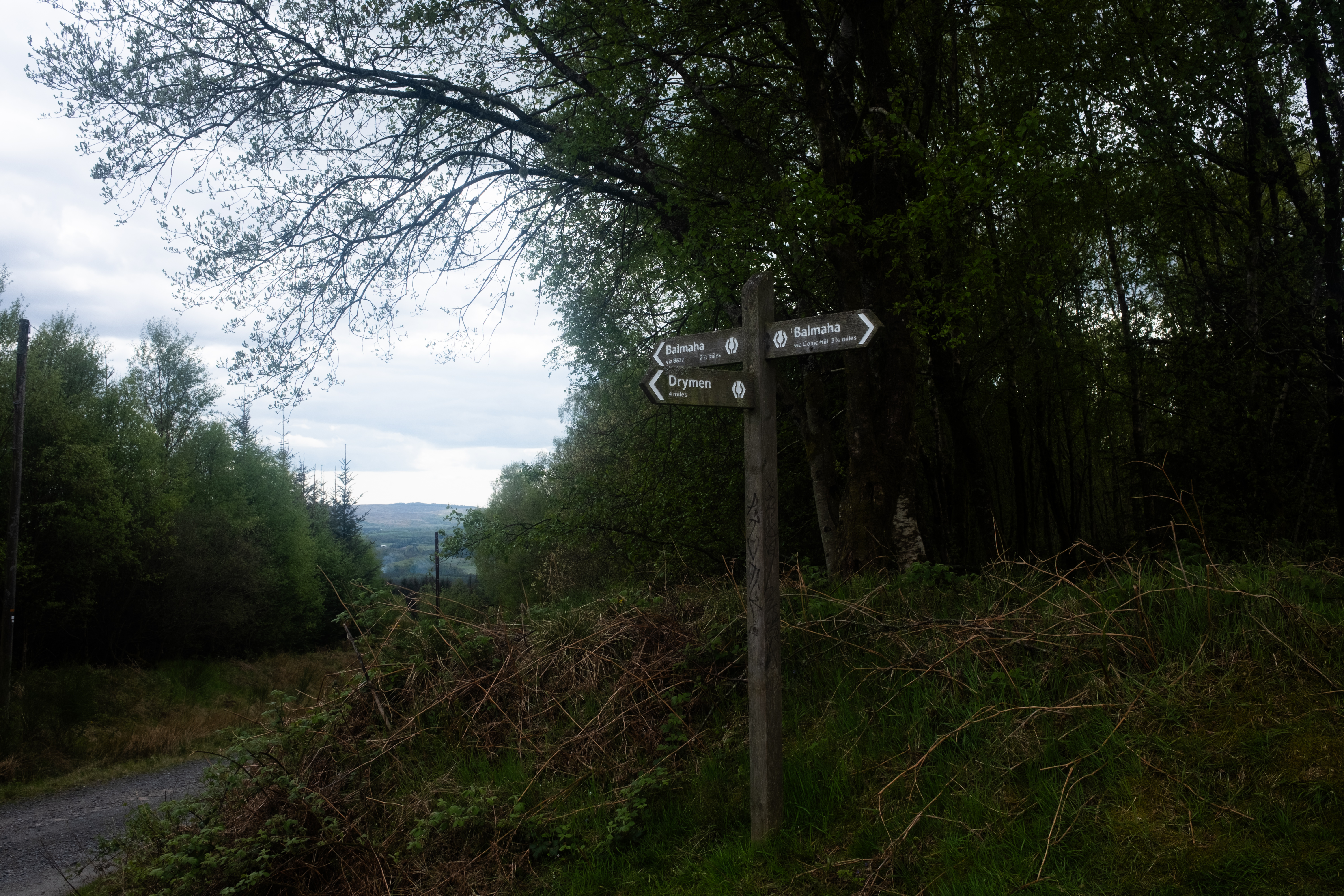
To give you an idea, I actually (vibe) coded an entire app to plan this hike, and naturally I had felt a very strong pull to plan out every camping spot in advance, until I kept catching myself and thinking: isn't that rather missing the point of wild camping? We were carrying our own tent, after all. The whole idea was that we could stop whenever we found somewhere beautiful, or whenever our legs gave out. And so I resisted the temptation and set off only knowing that our goal for today was to make it to Drymen, the next town after Milngavie, leaving the final decision for later in the day.
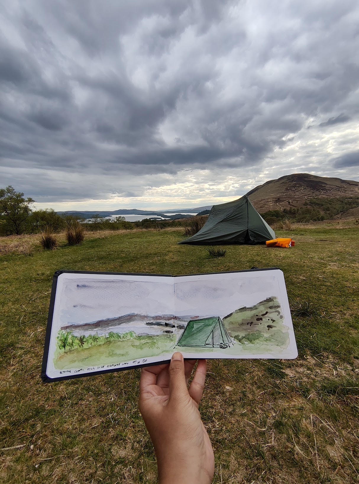
The day before, I had the genius idea to download FarOut, an application that I had used for Tour du Mont Blanc before. It turns out to be a good decision. While I already have a guidebook with me so it's a bit redundant, FarOut has a feature where people can comment on various landmarks, including wild camping spots. You can browse the map and figure out what wild camping spots are available ahead of you. Several comments pointed out that there are great camping spots just before and after Conic Hill. This would add an extra 5 km to our planned distance for the day, making it quite a long first day, but the sun will only set at 21:30 anyway and besides, the naanwich and Irn-Bru gave me extra energy and confidence that we could make it all the way to Conic Hill.
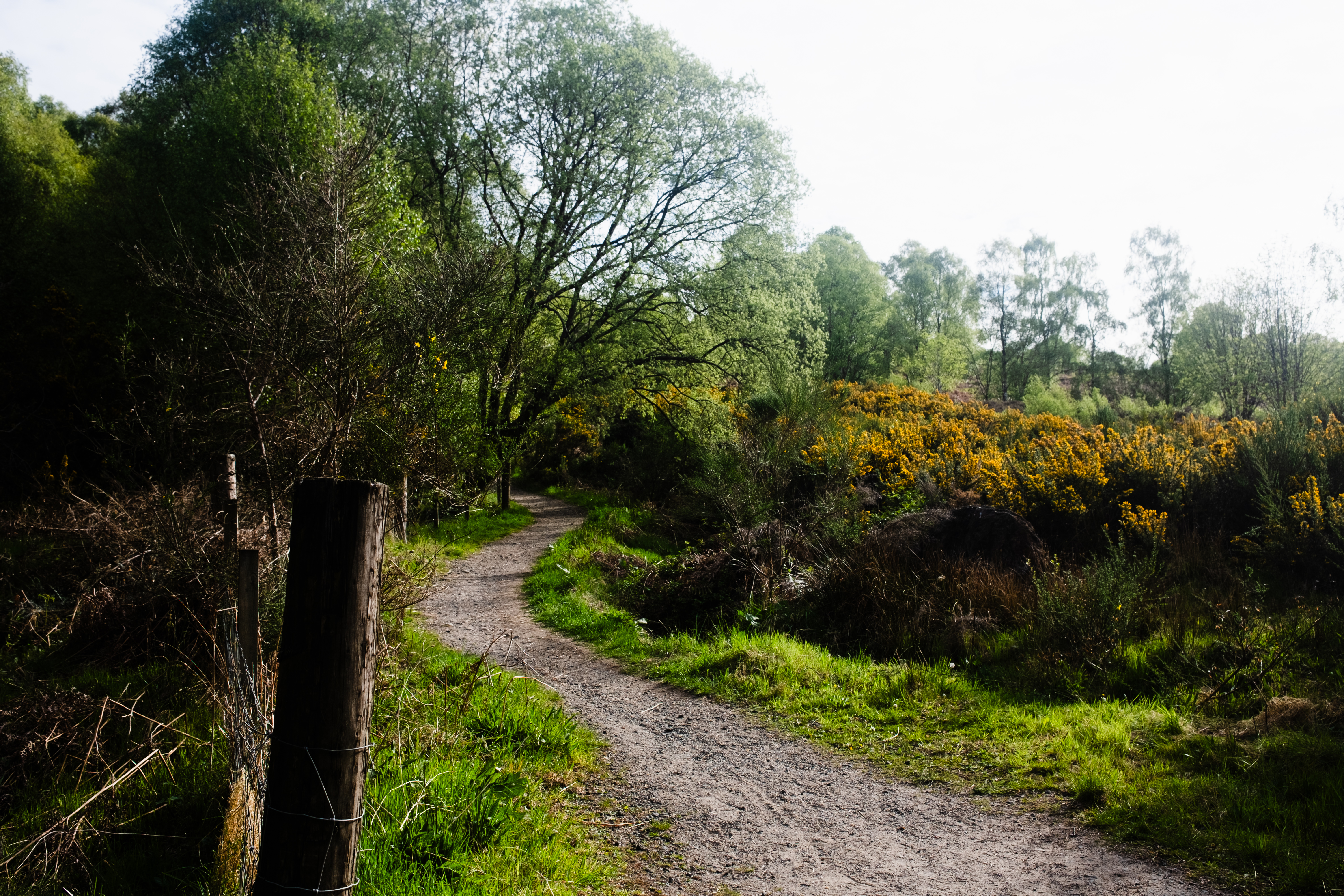
The next stretch to Drymen was fairly unremarkable, and we realized that even if we decided to camp in Drymen, there was nowhere obvious to actually do it. This being our first wild camping experience, I barely knew what I was looking for. What makes a good spot to pitch a tent? Everything seemed either too close to the road or too grassy. However once we made it into the forest, we started seeing patches of land that clearly had been used as a camping spot before: fairly flat, reasonably dry, occasionally with a ring of stones where someone had built a fire - and suddenly everywhere looked like a wild camping spot to us.
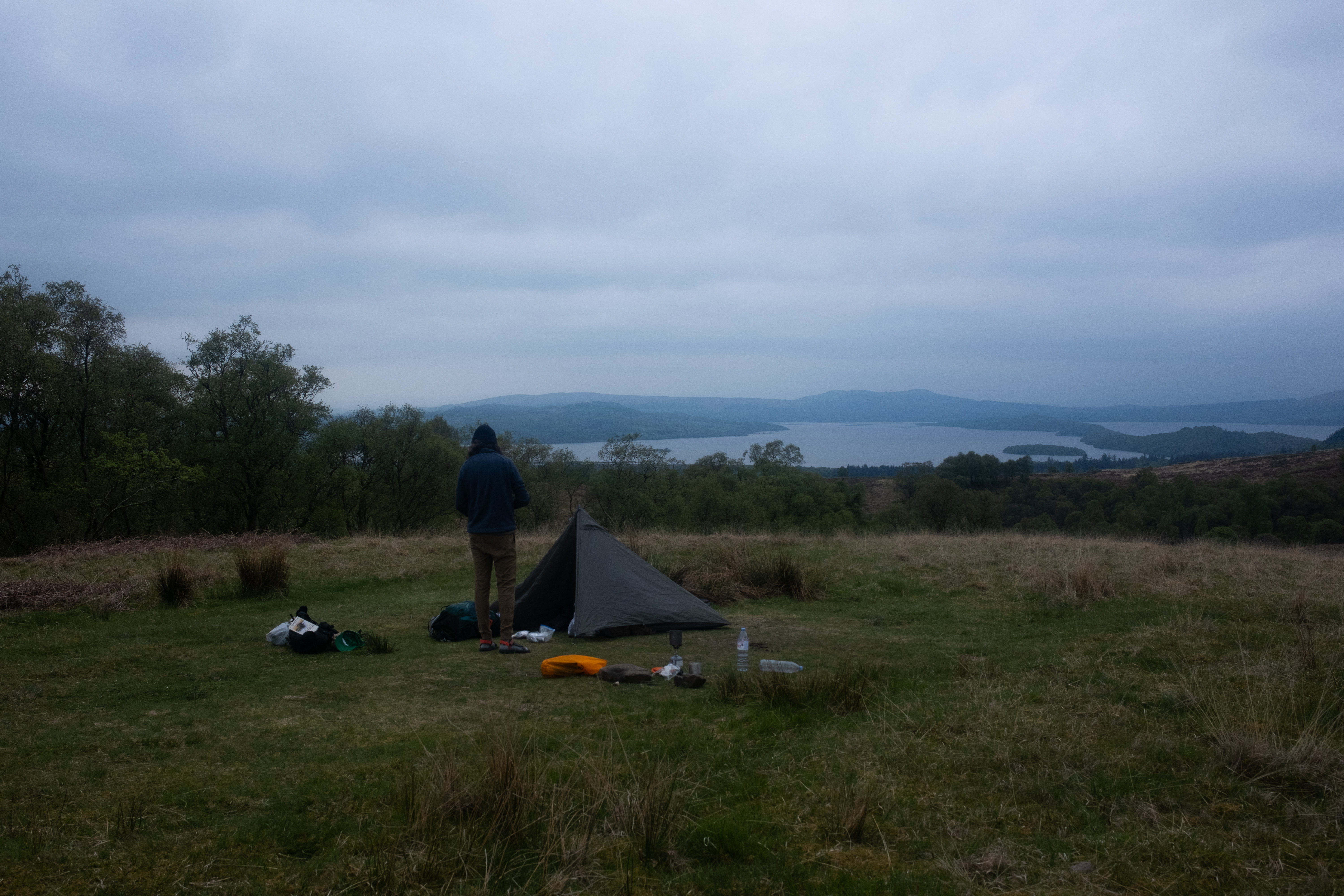
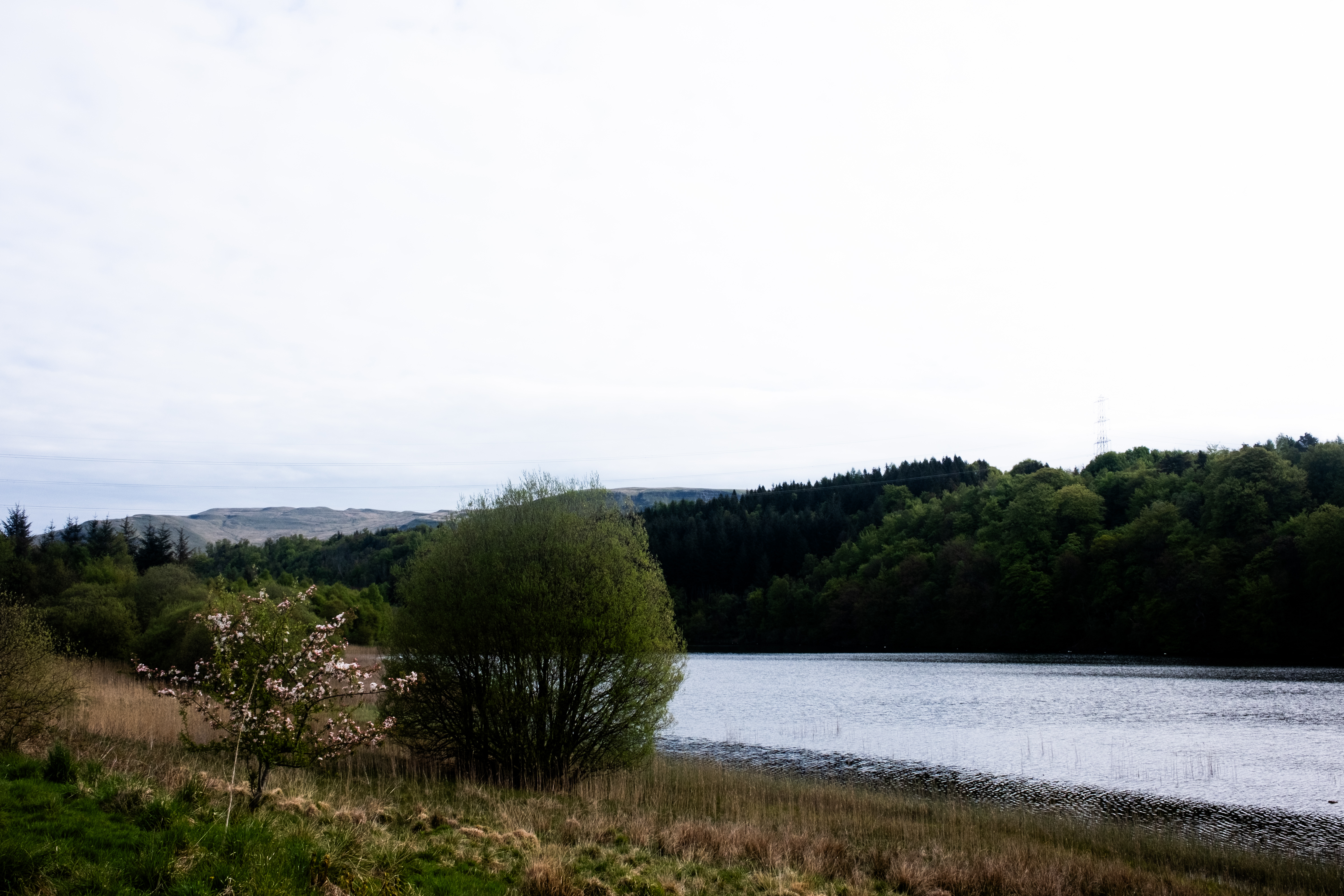
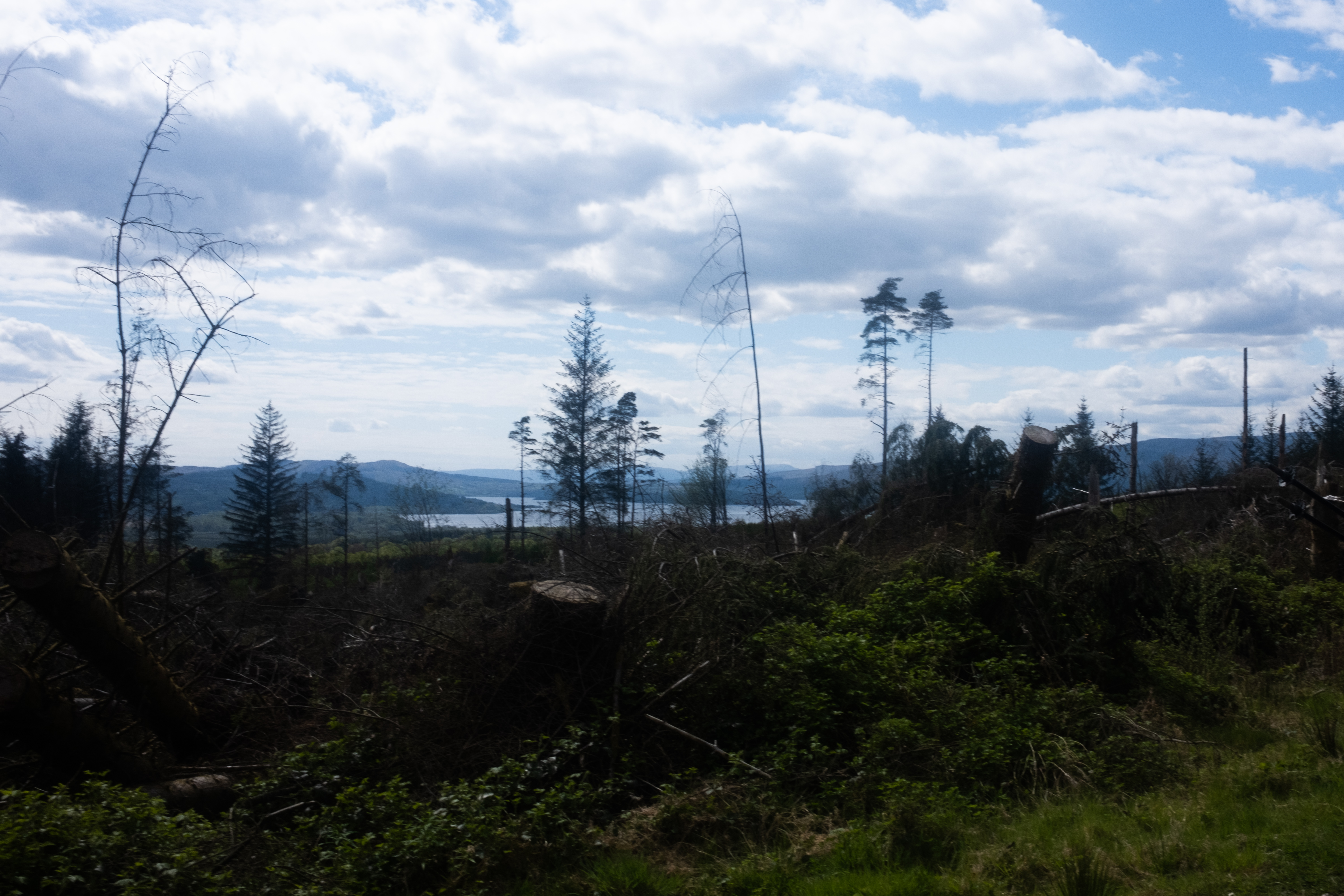
"Let's just find somewhere with a beautiful view where we can sketch," Dylan said, which is honestly the best wild camping criteria that I've heard that I'm pretty sure no guidebook has ever mentioned, but it makes so much sense, at least to us. And so we kept walking. The forest slowly thinned - so much forestry work going on in this area, a whole hillside to our left being cleared. With it, the space around us opened up, and we caught our first sight of the famed Loch Lomond.
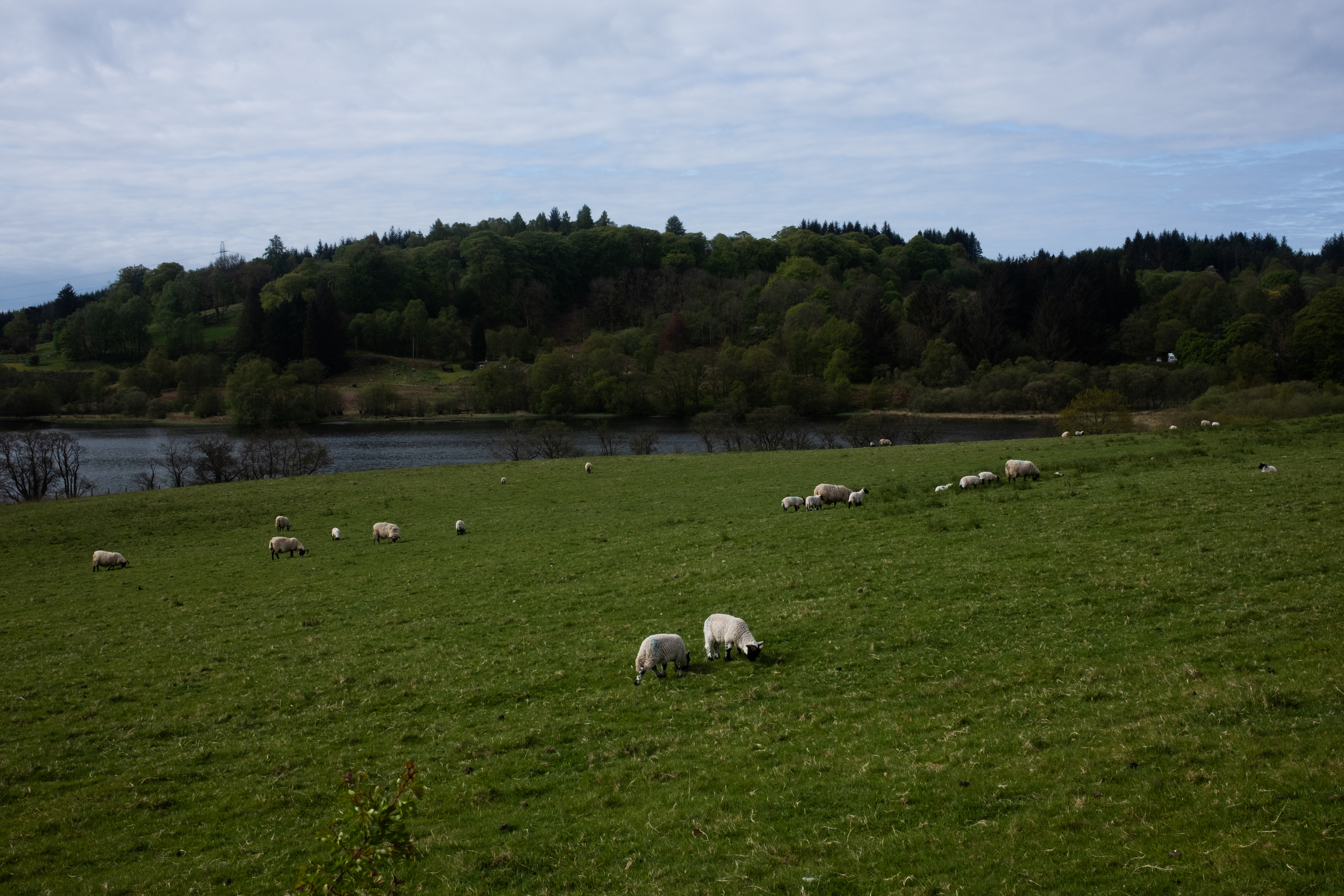
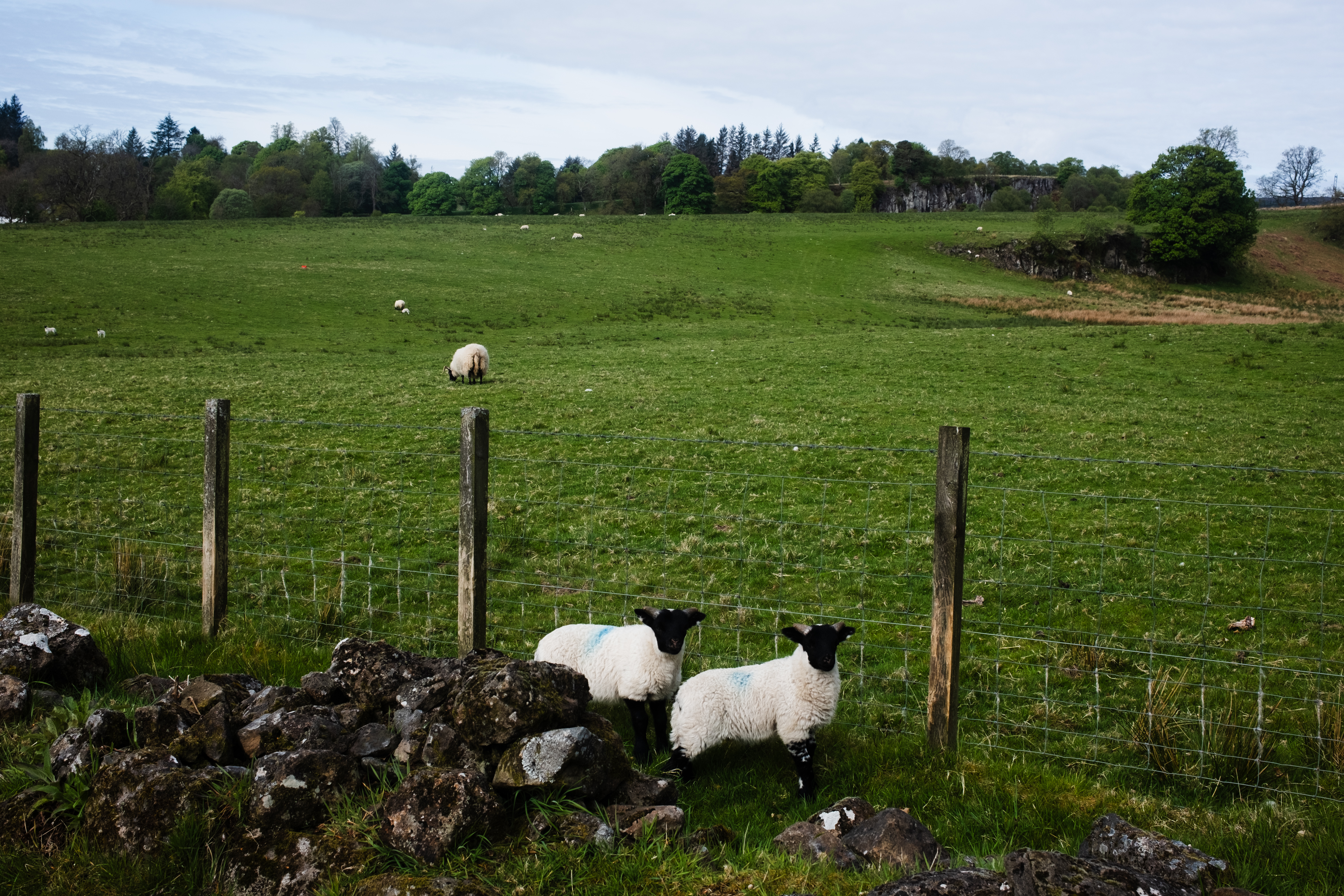
At this point my legs were ready to give out, but the idea of finding a spot worth sketching was enough to keep me going. A According to the map, we would be be getting closer to Loch Lomond as we approached Conic Hill, and a few FarOut commenters had flagged a particular spot just before the hill with a great view. We traversed an expansive field full of sheep - baa baa kingdom, we call it - and then, to our left, it appeared: a flat patch of ground with a sprawling view of Loch Lomond, Conic Hill sitting in the foreground. Plenty of space, close to a stream, completely flat, and entirely ours. We couldn't have dreamed up a better spot to spend our first night on the trail.