Tour du Mont Blanc, Day 3
Refuge de la Croix du Bonhomme to Rifugio Elisabetta (20.20 km, ↑ 1065 m, ↓ 1313 m)
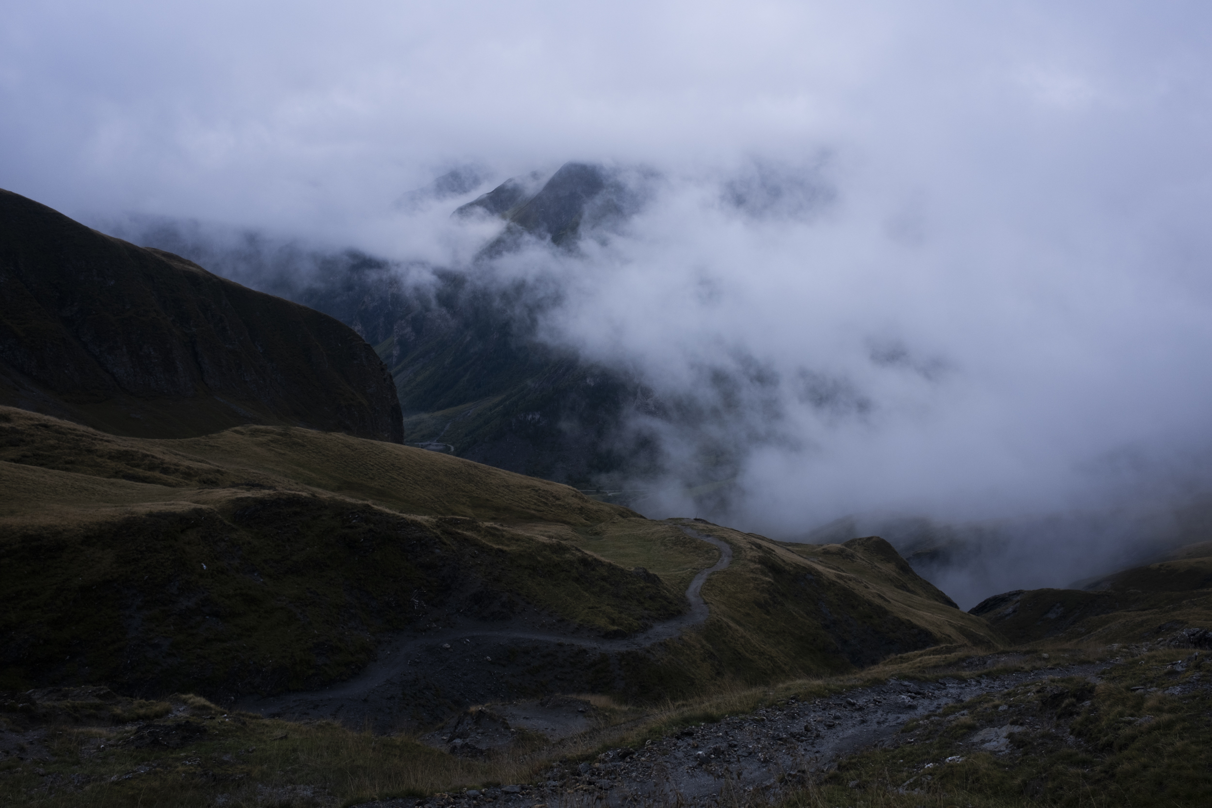
Today was another day where we had two options of routes to take: either we do the normal route would take us down to a town called Les Chapieux, or we take the higher route which would lead us to one of the highest vantage points on the TMB called Col des Fours. We both agreed that taking the normal route would be better for us, since we had taken the variant on the first day anyway, and looking outside it seems that today will be another misty day, meaning that there will most likely be no views. We opted for the easy option to be kinder to our knees and legs today.
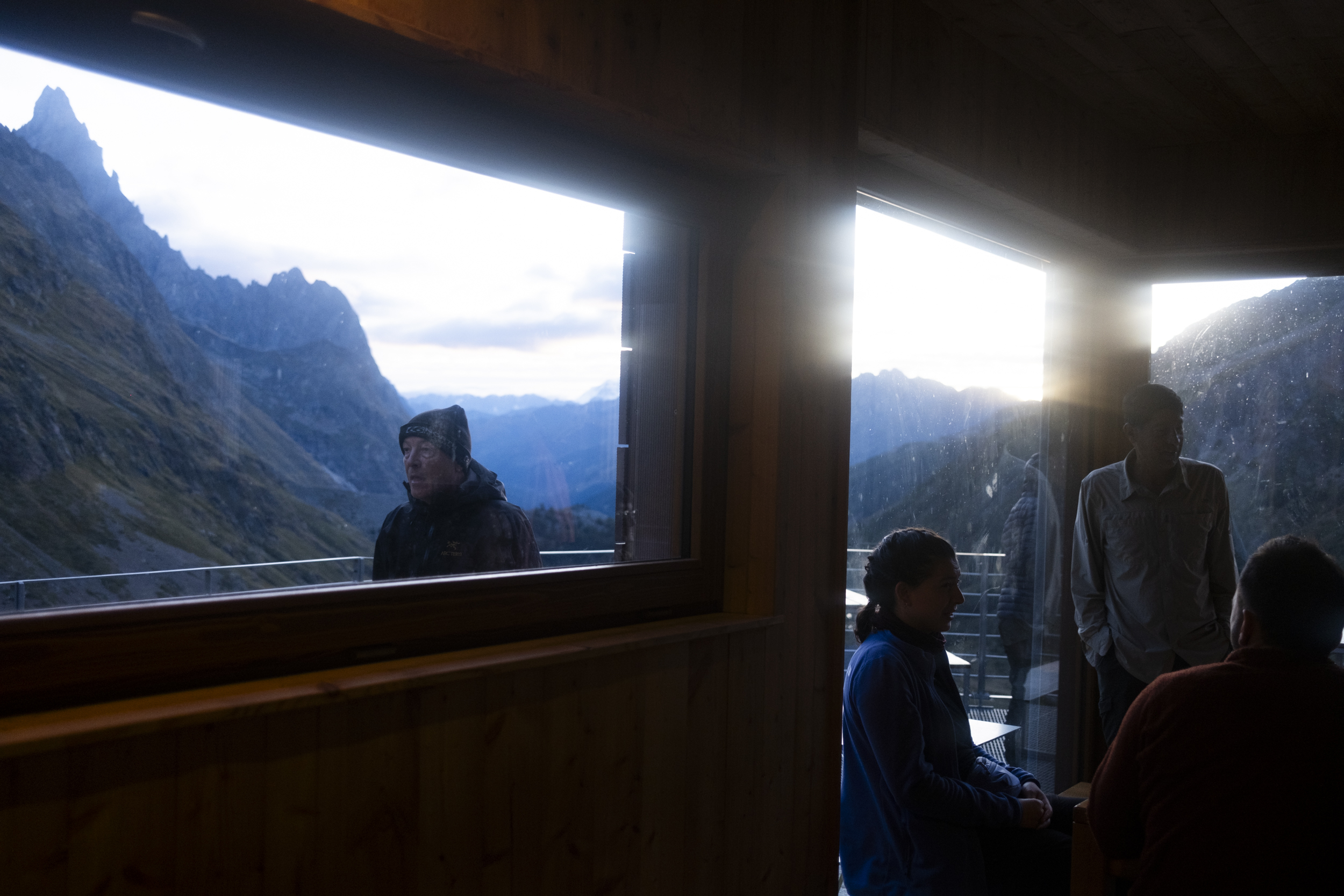
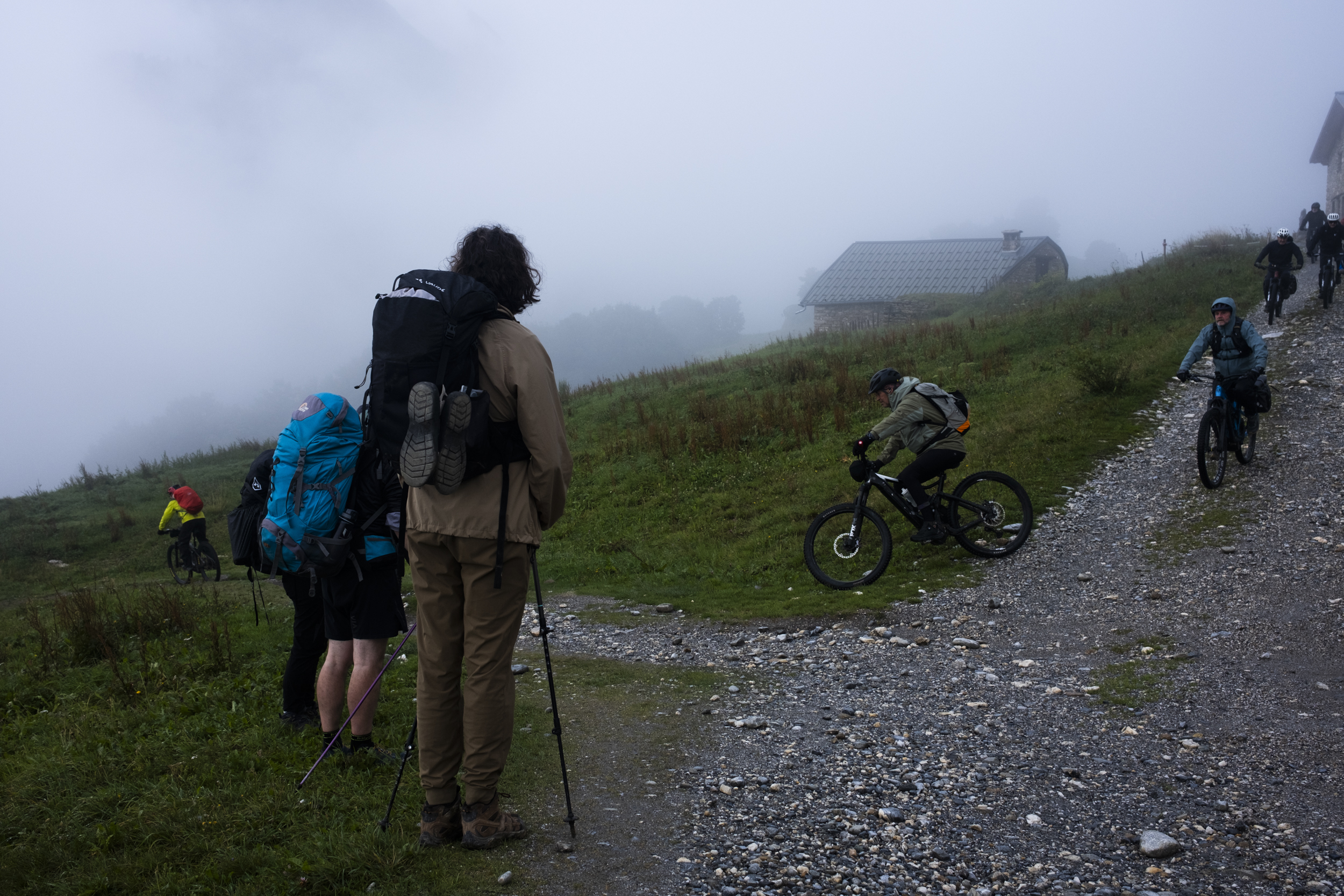
At this point I have seemed to find the rhythm to my morning routine - I didn't have any issue packing and unpacking in the dark inside the cramped dorm room, and in a probably sadomasochistic way I found it quite enjoyable because I knew that I wouldn't be doing anything like this except when I'm on the trail. Breakfast was rather simple: bread, jam, coffee, and tea. The guitar was not occupied so Dylan picked it up and played some tunes to start the day, and a lovely lady thanked him afterwards. We didn't really see anyone that we know for dinner last night among all the hikers in the dining hall so we decided to head off and start making our way to Les Chapieux.
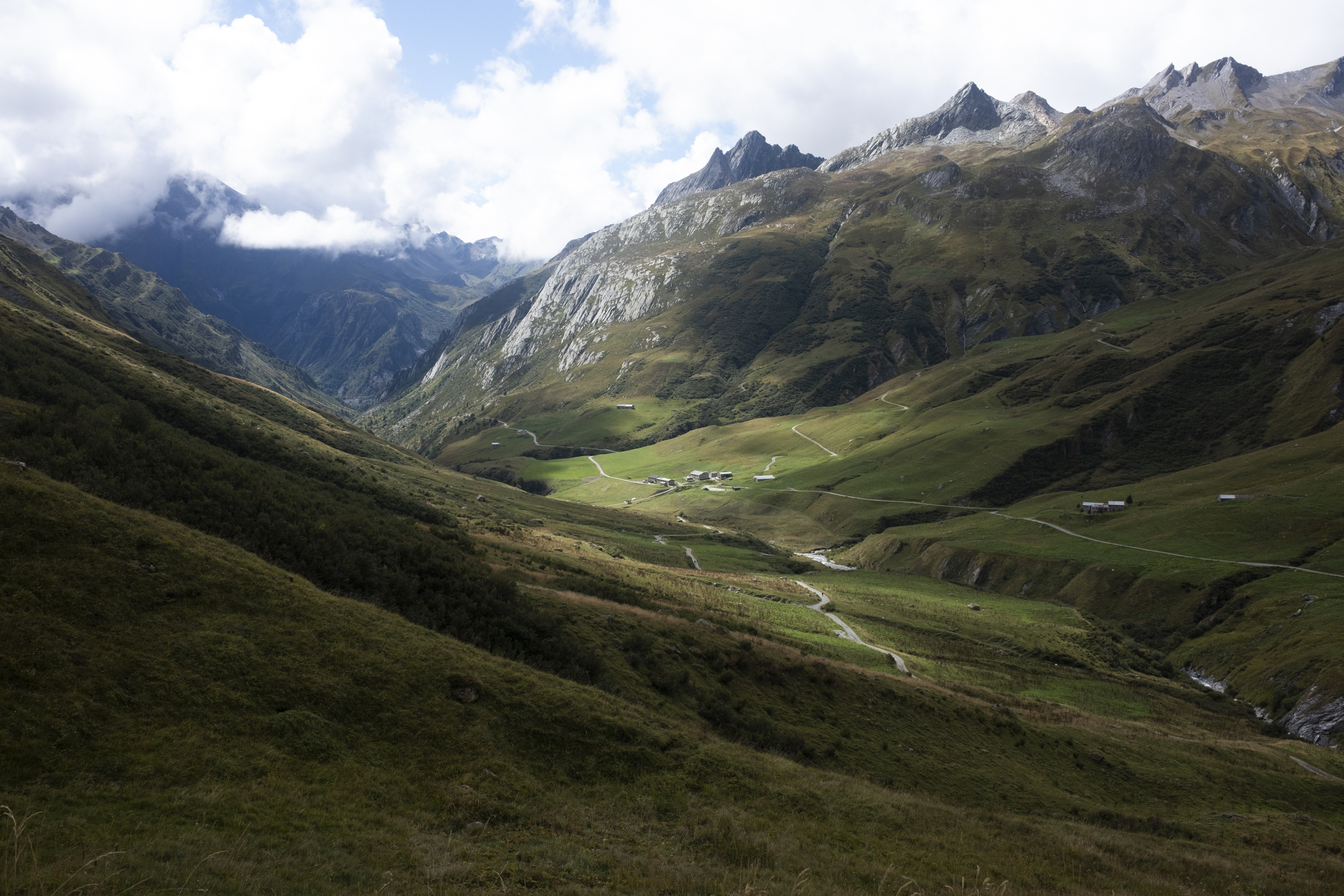
The descent was gentle and easy: the dirt paths were wet from last night's hail and rain but we were walking on wide, stable paths with some stream crossings here and there which I always found fun to traverse. At around 10 we made it to Les Chapieux which was even smaller than I thought it was: it appears to consist of a few refuges and one or two restaurants, one of which was open. We had two cups of espresso for some power up and bought some sandwich for later.
There was actually another option to make today's route even easier. We found out there was a shuttle bus that runs once every hour running from Les Chapieux to Ville des Glaciers, one of the villages we would pass along the way, which would shave off our hike by about an hour or so. It would have been a nice option for someone doing double stages, but despite yesterday's long hike, we felt confident enough to cover the route by foot. So instead of getting on the van, we exited the small town on foot with our baguette in our backpacks.
Fun fact: Ville des Glaciers is one of the villages that are closest to Mer de Glace; said to be the largest glacier in France. Dylan pointed out that it is one of the most important sites in Mary Shelley's Frankenstein, which admittedly I have yet to read. I made a mental note to pick it up as soon as I get back.
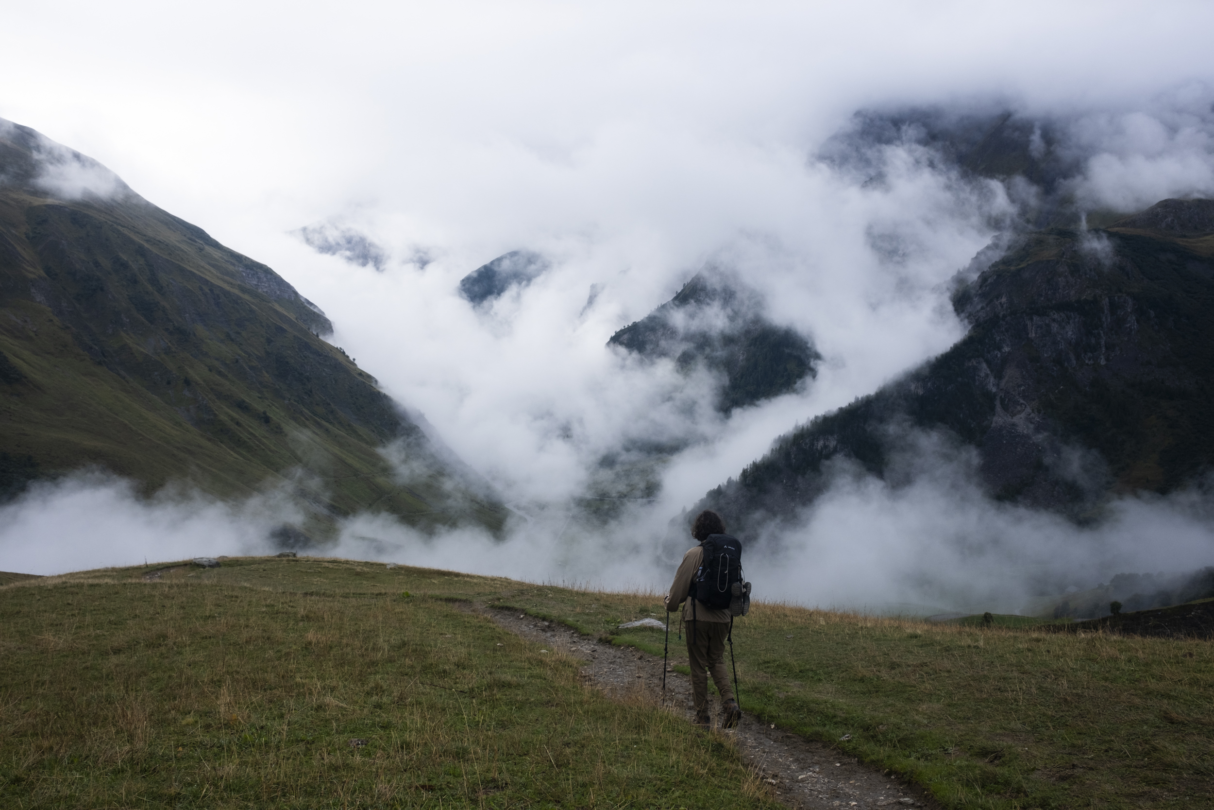
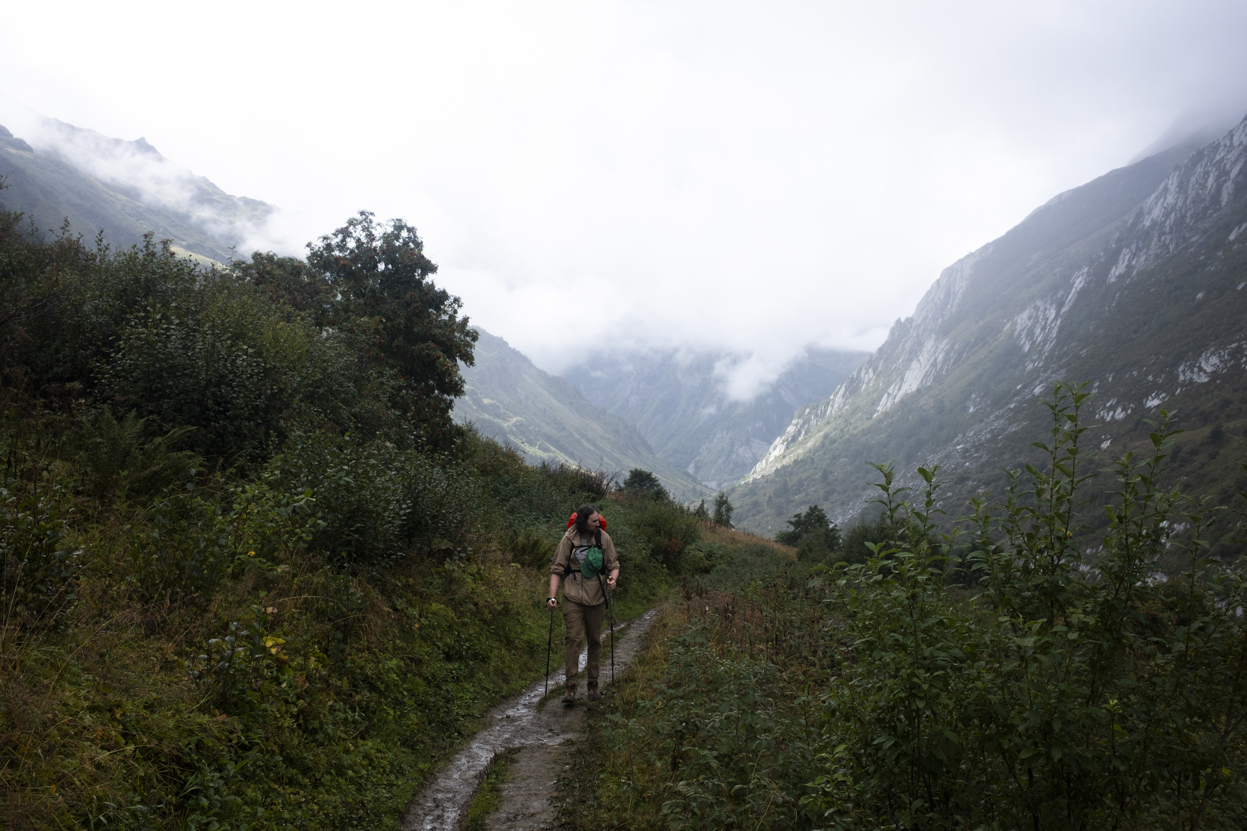
I found that unlike Alta Via 1, there seems to be endless choices to make on TMB: so many variants, so many alternate trails, to the point where if not careful, one could definitely experience some kind of decision fatigue. When we were exiting the town of Les Chapieux, we also had two options. We could have gone all the way to La Ville des Glaciers by walking on the road, which would be the road that we share with the shuttle bus, but we decided to go offroad and this trail would take us to the meadow on the far right side of the road.
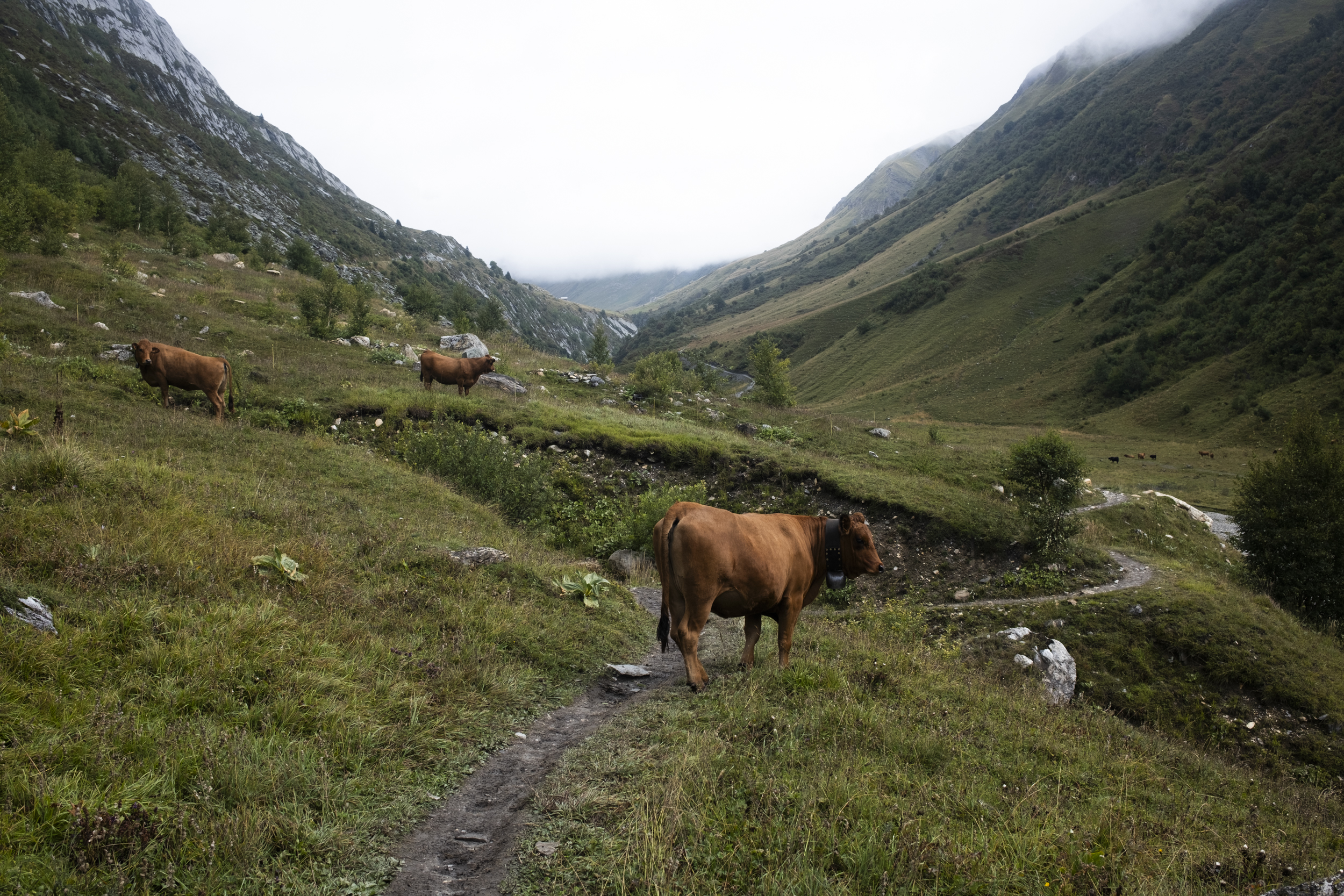
By skipping the road we had to walk through the valley, and since it had been drizzling, we had to be careful with mud and not slipping. Walking on the road would have made our lives easier but if we had taken the road, we wouldn't have had the chance to hang out with a huge herd of cows, who were chilling and grazing on the grass by the stream.

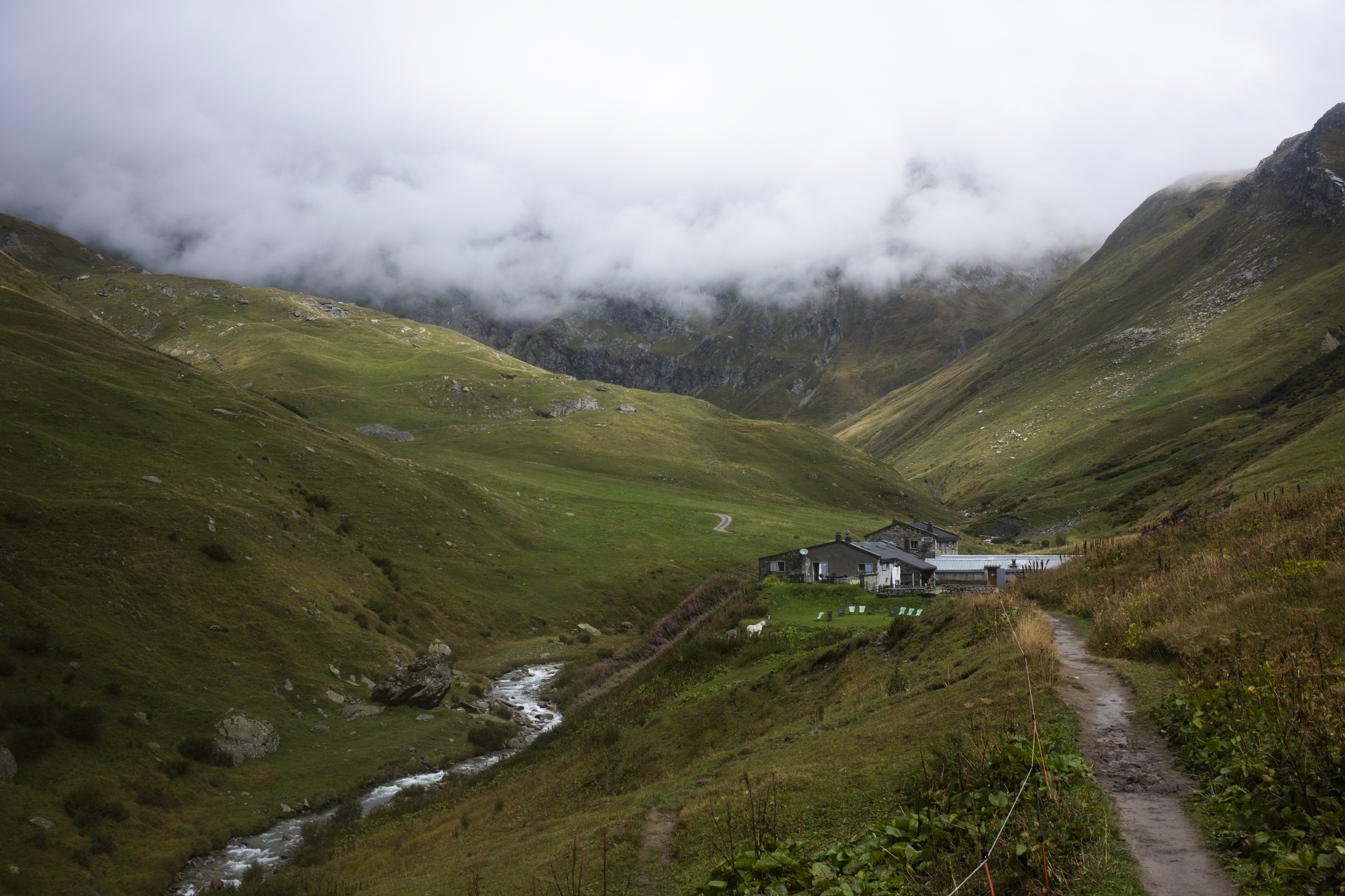
Once we reached La Ville des Glaciers we decided to press on, since we were hungry and we couldn't really find a suitable lunch spot for us to have our sandwich picnic. It was only a short distance to the next rifugio, Refuge des Mottets. But I was really starving (and cold) that the track seemed to stretch forever. Luckily we weren't traversing a particularly treacherous path so we could afford to walk a little bit faster. Eventually we reached Refuge des Mottets and since we still had our sandwich lunch from Les Chapieux, we hung outside instead of entering the restaurant, while watching marmots and horses play around.
We couldn't help but be a bit curious about a monument right across the rifugio which has Italian, French and American flags, so we made a brief stop before we continued our ascent. We learned that the monument was built as a memorial for a US Army Air Forces plane crash that happened in 1946 during World War II.
The ascent to the next col was a tough one, but it was also an exciting one for me because the col would be our first border crossing on the hike! One of the cool features of TMB is by doing the whole trek, we get to cross three different borders by foot. We were to cross into Italy today, so the idea of being served warm Italian meals for dinner tonight was enough to fuel my hike up to the col. I decided to take it slow and make sure that my heart rate didn't shoot up like two days ago. This meant sometimes I had to go on a snail's pace but I found going slow seemed to be working better for me.
When ascending Col de la Seigne, we came across some familiar faces: Anish and Sloane, who were also headed to our rifugio, Rifugio Elisabetta. And so we caught up with them and chatted with them for a bit before parting ways again to walk on our own. Unlike the first half of the day, during the second half the clouds suddenly parted and therefore it was very, very hot. The hike to Col de la Seigne really became a slog and once we got to a flatter land I was hoping we had arrived at the col, but nada.
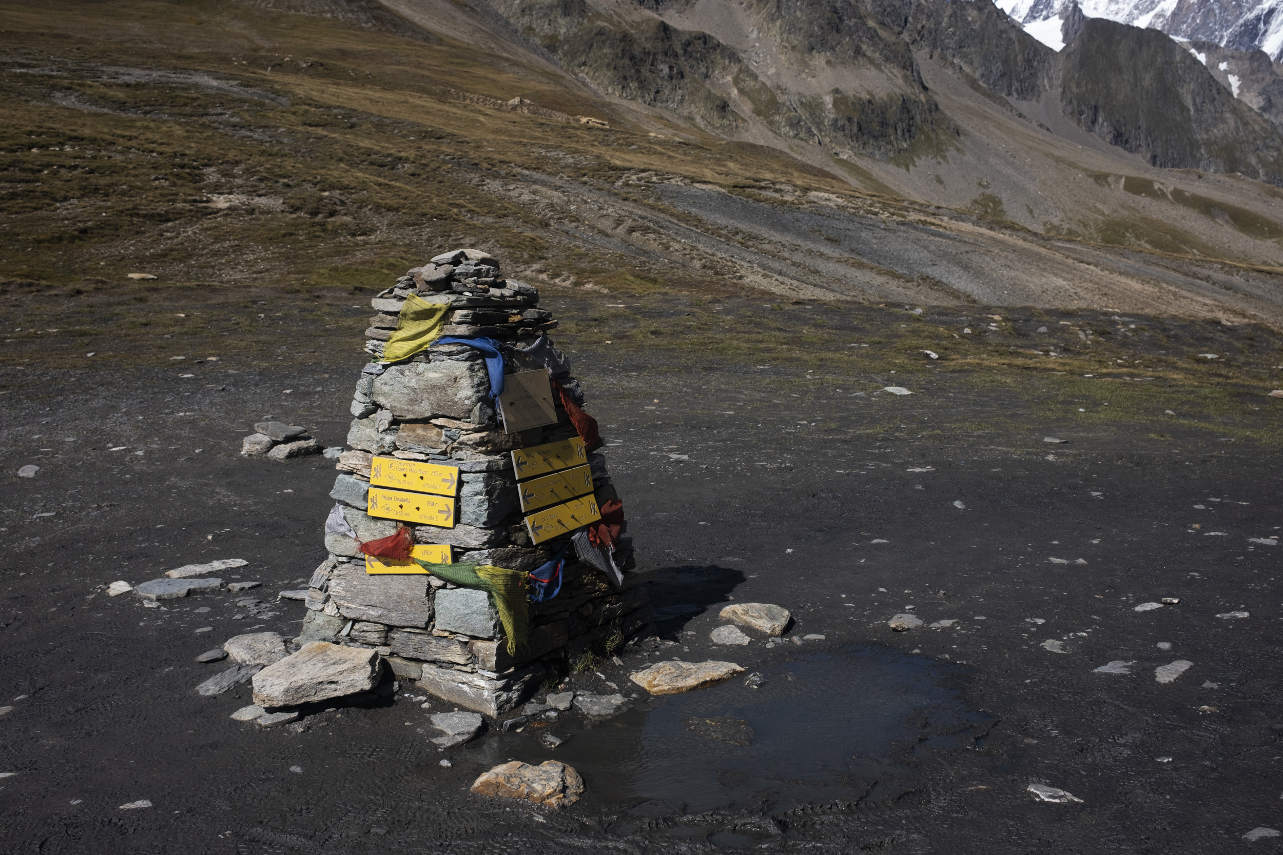
Half an hour later we finally arrived at the real col, which is also where the France - Italy border was, except that there wasn't any big signage or crossing that actually shouts "this is the border!". There was a cairn and a small monument and we actually had to walk around to figure out where the actual border was, but I guess it didn't really matter. We knew for sure that we would be continuing into Italy anyway, and so we descended the col after a short break and pressed on towards Rifugio Elisabetta. After a rather steep descent, the ground leveled and from here on it was a rather chill walk towards Rifugio Elisabetta, although I felt it did take us forever, maybe because I was already hungry and I didn't have much energy left.
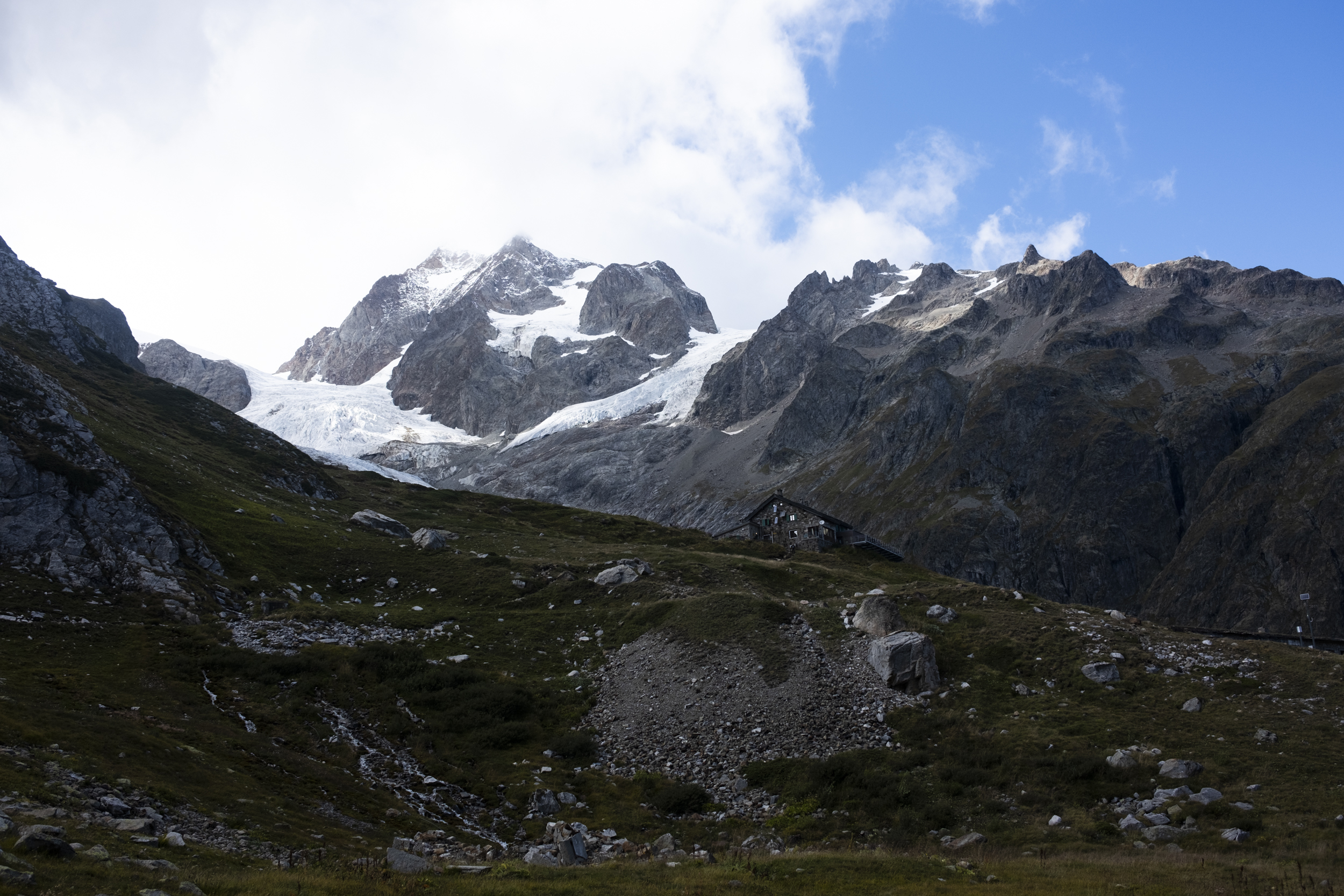
Rifugio Elisabetta was situated on top of a hill, so at the end of the day we still had to do a small ascent just to get to where we would be eating and staying that night, and although I felt like I was going to collapse we did make it and after taking a shower, unpacking, and drinking some hot chocolate, I regained a bit of energy to take pictures, however I skipped sketching today because I got distracted by the views, the vibe, and I just wanted to enjoy the moment. The main course for dinner was risotto (with extra servings) and we were seated with a Canadian couple who lived in the States for a while, and some Italian girls who were fastpacking the whole trail in 4 days. We found Anish and Sloane again afterwards and spent the evening playing Cabo while drinking lemon soda. It was a nice end for the day especially considering the rather tough three days, especially when you take into account the changing weather, but tomorrow we knew it would be a shorter day and thinking about how relaxing the next day would be really helped me sleep at night.